New York State Route 92
From Wikipedia, the free encyclopedia
 |
|||||||||||||
| NY Route 92 |
|||||||||||||
| East Genesee Street Maintained by NYSDOT |
|||||||||||||
 |
|||||||||||||
| Length: | 17.33 mi[1] (27.89 km) | ||||||||||||
|---|---|---|---|---|---|---|---|---|---|---|---|---|---|
| Formed: | 1930[2] | ||||||||||||
| West end: | |||||||||||||
| Major junctions: |
|||||||||||||
| East end: | |||||||||||||
| Counties: | Onondaga, Madison | ||||||||||||
|
|||||||||||||
New York State Route 92 is a state route located in Central New York. It runs west from downtown Syracuse, where it receives the name East Genesee Street. After crossing Interstate 481 in conjunction with Erie Boulevard (NY 5), it splits off to the southwest towards Manlius, finally ending at an intersection with U.S. Route 20 near Cazenovia. NY 92 was also concurrent with parts of New York State Route 20N and New York State Route 20SY, two former spur routes of US 20.
Contents |
[edit] Route description

Route 92 begins in downtown Syracuse at an intersection with U.S. Route 11 and East Onondaga Street.[3] NY 92 heads eastward, crossing under Interstate 81. The highway briefly becomes a divided highway as the eastbound and westbound lanes diverge around a small park situated between Almond Street and Forman Avenue. It continues east through downtown Syracuse, intersecting with several city roads. At the intersection with Allen Street, it turns to the southeast away from Syracuse. After passing St. Mary's Cemetery, NY 92 intersects with CR 7 and NY 5, the latter which it becomes concurrent with.[3]
The concurrent routes Routes 5 and 92 head through the village of DeWitt, interchanging with Interstate 481.[3] In DeWitt, the two routes split, and 92 heads southeast towards Manlius. Route 257 terminates along the route in High Bridge. In Manlius, the highway becomes concurrent with NY 73. The concurrency is short-lived, lasting for only .16 miles (0.26 km). A little later, 92 turns to the southeast again. It continues southward for eight more miles, coming to an end at U.S. Route 20 in Cazenovia.[3]
[edit] History
NY 92 assigned in the 1930 renumbering to a northwest-southeast roadway between Fayetteville and Cazenovia.[4] It was later extended westward into Syracuse. Route 92 encompasses the Syracuse to Manlius portion of the former New York State Route 20SY and the Manlius to Cazenovia section of New York State Route 20N.[5] Both routes were spurs of U.S. Route 20, a cross-state highway. The 20SY and 20N designations were removed by 1962.[6][7]
[edit] Major intersections
| County | Location | Mile[1] | Roads intersected | Notes |
|---|---|---|---|---|
| Onondaga | Syracuse | 0.00 | ||
| De Witt | 4.41 | Western terminus of overlap | ||
| 4.77 | Exits 3E-W (I-481) | |||
| 5.54 | Eastern terminus of overlap | |||
| Village of Manlius | 9.00 | Southern terminus of NY 257 | ||
| 9.40 | Western terminus of overlap | |||
| 9.56 | Eastern terminus of overlap | |||
| Madison | Cazenovia Lake | 17.33 |
[edit] References
- ^ a b Traffic Data Report - I-87 to NY 121 (PDF). NYSDOT (2007-07-16). Retrieved on 2007-12-08.
- ^ Automobile Legal Association (ALA) Automobile Green Book, 1930/31 and 1931/32 editions, (Scarborough Motor Guide Co., Boston, 1930 and 1931). The 1930/31 edition shows New York state routes prior to the 1930 renumbering
- ^ a b c d Google Maps. Overview Map of NY 92 [map]. Retrieved on 2007-12-07.
- ^ Leon A. Dickinson. "New Signs for State Highways", New York Times, 1930-01-12, p. 136. The route is shown as unchanged; however, the route is not listed in the Automobile Legal Association (ALA) Automobile Green Book 1930/31 edition's route log
- ^ Automobile Legal Association (ALA) Automobile Green Book, 1938/39 edition, (W.A. Thibodeau, 1938).
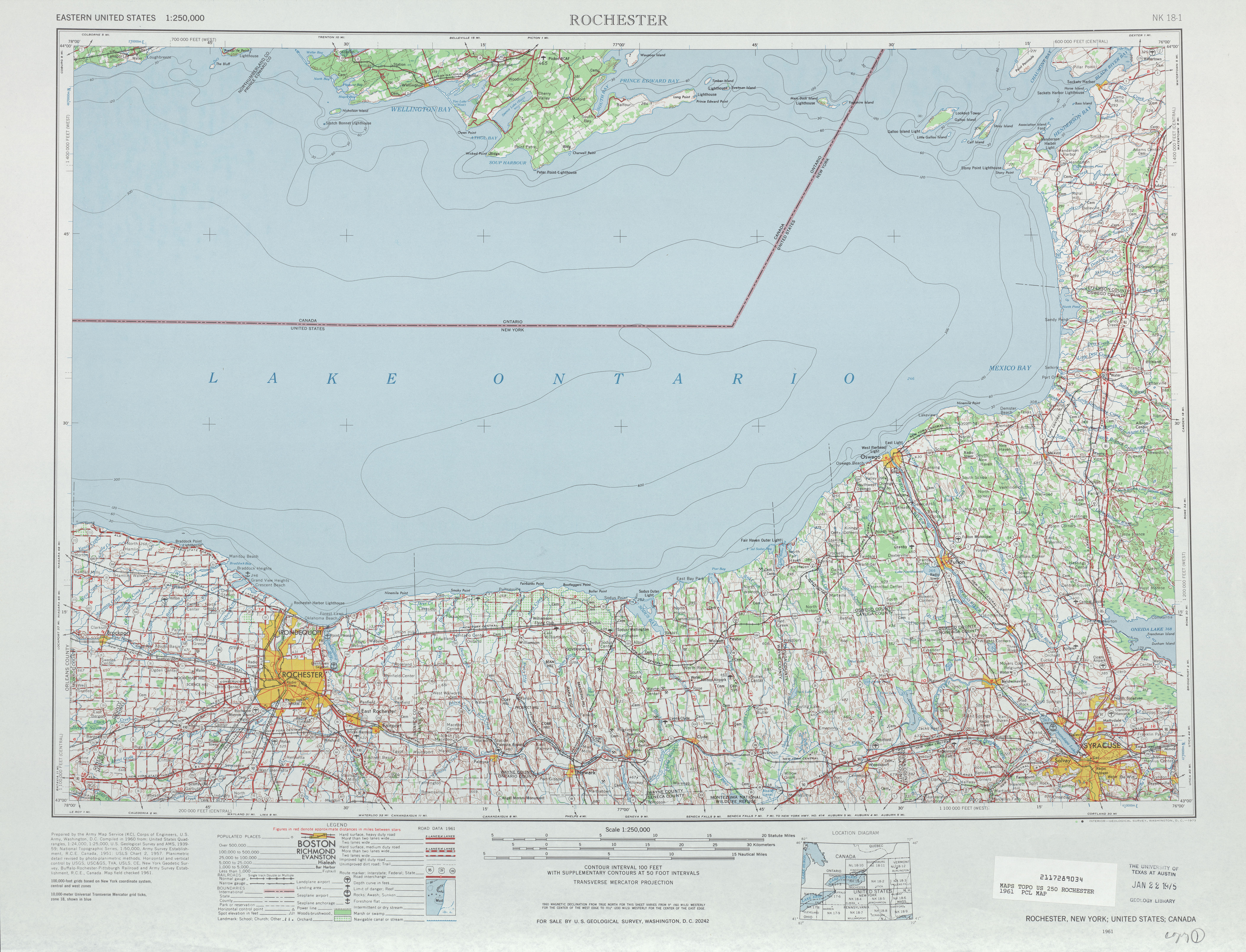
- ^ United States Geological Survey. Rochester, NY Quadrangle [map], 1:250,000, Eastern United States 1:250,000. (1961) Retrieved on 2007-12-07.
- ^ Esso. New York with Sight-Seeing Guide [map]. Cartography by General Drafting. (1962)
|
|||||

