New York State Route 173
From Wikipedia, the free encyclopedia
 |
|||||||||||||
| NY Route 173 |
|||||||||||||
 |
|||||||||||||
| Length: | 30.59 mi[1] (49.23 km) | ||||||||||||
|---|---|---|---|---|---|---|---|---|---|---|---|---|---|
| Formed: | 1930[2] | ||||||||||||
| West end: | |||||||||||||
| Major junctions: |
|||||||||||||
| East end: | |||||||||||||
| Counties: | Onondaga, Madison | ||||||||||||
|
|||||||||||||
New York State Route 173 is a state route located in the Syracuse area. It takes a slightly bow-shaped route from Ionia in the west to Chittenango in the east, gently curving to the south of the city in the center of its route. Route 173 begins in Ionia at New York State Route 31 and ends in Chittenango at New York State Route 5, a route stretching for 30.59 miles (49.23 km).[1] Route 173 is one of the four roads making up the original New York State Route 20N, and one of several making up the Seneca Turnpike.
Contents |
[edit] Route description
New York Route 173 begins at an intersection with New York State Route 31 in Ionia.[3] Just after the beginning, Route 173 intersects with Onondaga County Route 29 and continues eastward. After intersecting with several County Routes, The highway turns to the southeast and crosses over the New York State Thruway (I-90). The highway enters Warners, New York and intersects with County Route 31. Route 31 heading southward intersects with the Erie Canal Footpath. The highway leaves Warners, passing Greenlawn Memorial Park to the north. After going eastward for a short while, Route 173 turns to southeast again.[3]
Route 173 passes Reed Webster Park and heads to the southeast.[3] Just nearby, New York State Route 5 interchanges outside of Syracuse. The highway heads southward, intersecting with Route 297's southern terminus. The highway heads through town upon town in Onondaga County, before becoming concurrent with New York State Route 175 in Onondaga Hill. The concurrency is short, as Route 175 turns towards Syracuse about .1 miles (0.16 km) later. Route 173 passes to the south of Community General Hospital and leaves Onondaga Hill.[3]

Route 173, now part of the Seneca Turnpike, intersects with U.S. Route 11.[3] Route 173 crosses under Interstate 81 and heads eastward towards Manlius. The highway passes to the south of Clark Reservation State Park in Southwood, continuing along the East Seneca Turnpike. New York State Route 91 intersects when Route 173 enters Jamesville. Route 173 continues eastward, entering the village of Manlius. There it becomes concurrent with New York State Route 92 and the two roads continue east on a short concurrency.[3] Route 92 turns to the southeast towards Cazenovia. Route 173 continues eastward, leaving Manlius and entering Madison County. Route 173 and the nearby Route 5 parallel until Route 173 turns to the northeast. The highway heads up Brinkerhoff Hill and enters Chittenango, where it comes to an end at Route 5. Route 5 continues eastward towards Albany.[3]
[edit] History
The distance from Route 175 in Onondaga to the terminus in Chittenango is part of the original Seneca Turnpike. The Seneca Turnpike was originally the longest road in the state when it was built in the 1800s.[4][5] Route 173 was assigned in the 1930 New York State Route renumbering using its current route.[2] The stretch from Route 175 in Onondaga Hill to Route 92 in Manlius was part of the original New York State Route 20N, that stretched from Skaneateles to Cazenovia.[6] Route 20N, along with New York State Route 20SY (a road that intersected in Manlius with Route 92) were removed by 1962.[7][8]
Four county routes have been designated along the routing of NY 173.[9] The first is Onondaga County Route 63 from West Genesee Street/County Route 98 in Fairmount to County Routes 57 and 163 in Amboy. The second is County Route 57 from County Routes 63 and 163 in Amboy to County Routes 31 and 64 in Warners.[10] The third is County Route 64 from County Routes 31 and 57 in Warners to County Route 204 in Ionia. The fourth is County Route 204 from NY 31 to CR 64.[9]
[edit] Major intersections
| County | Location | Mile[1] | Roads intersected | Notes |
|---|---|---|---|---|
| Onondaga | Ionia | 0.00 | Western terminus of NY 173 | |
| Fairmount | 8.01 | Access to westbound NY 5 only | ||
| 8.51 | Southern terminus of NY 297 | |||
| Onondaga Hill | 13.28 | NY 173/NY 175 overlap for 100 yards | ||
| Syracuse | 14.70 | |||
| 15.24 | ||||
| Jamesville | 19.24 | Northern terminus of NY 91 | ||
| Village of Manlius | 24.10 | NY 92/NY 173 overlap for 250 yards | ||
| Madison | Chittenango | 30.59 | Eastern terminus of NY 173 |
[edit] References
- ^ a b c Traffic Data Report - NY 121 to NY 213 (PDF). NYSDOT (2007-07-16). Retrieved on 2007-11-16.
- ^ a b Automobile Legal Association (ALA) Automobile Green Book, 1930/31 and 1931/32 editions, (Scarborough Motor Guide Co., Boston, 1930 and 1931). The 1930/31 edition shows New York state routes prior to the 1930 renumbering
- ^ a b c d e f g Google Maps. Overview Map of NY 173 [map]. Retrieved on 2007-12-12.
- ^ Rivette, Barbara S. "Genesee Road." Encyclopedia of New York State. Syracuse University Press, 2005.
- ^ * Baer, Christopher T. "Turnpikes." Encyclopedia of New York State. Syracuse University Press, 2005.
- ^ Automobile Legal Association (ALA) Automobile Green Book, 1938/39 edition, (W.A. Thibodeau, 1938).
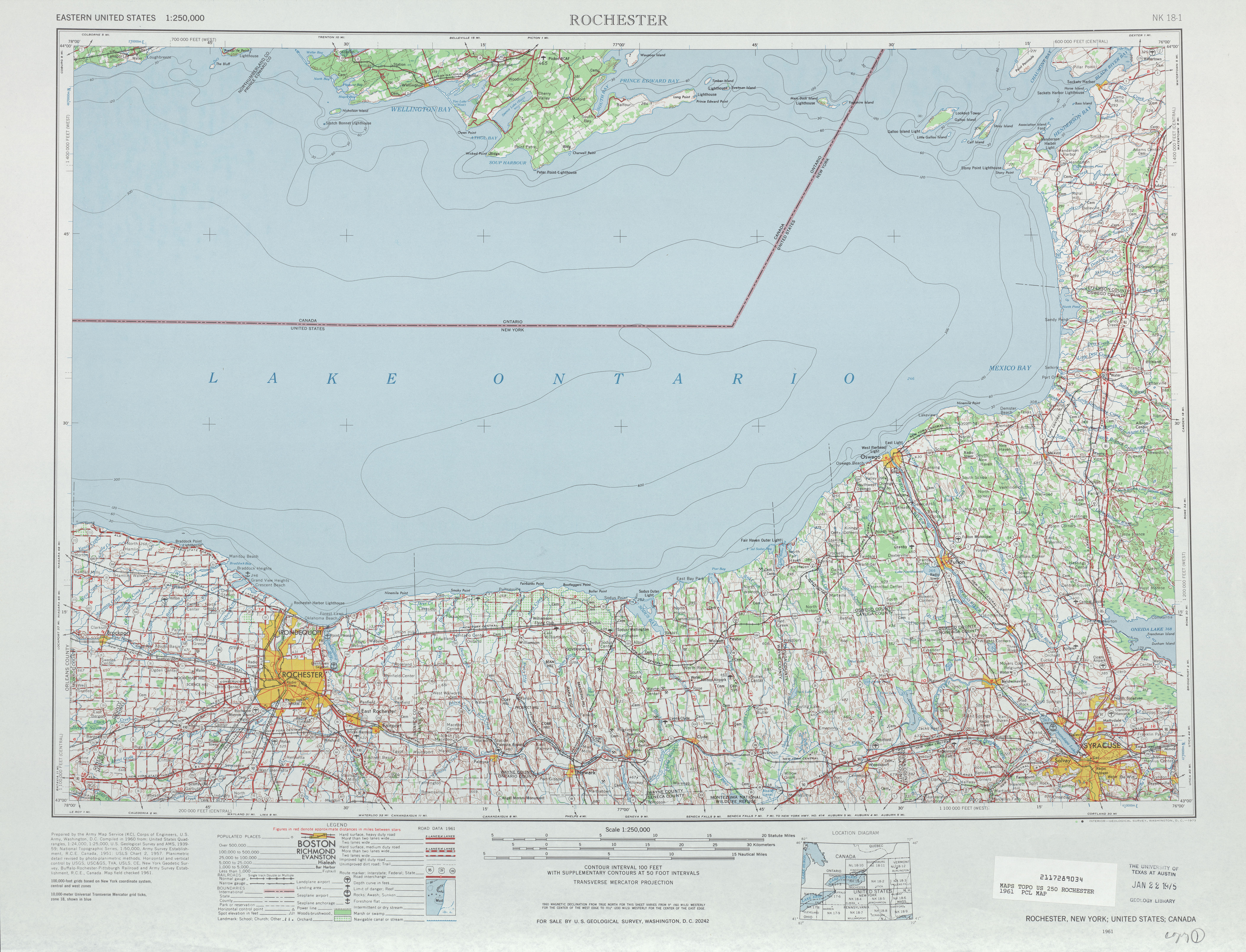
- ^ Rochester topography map. United States Geological Survey (1961). Retrieved on 2007-12-12.
- ^ Esso. New York with Sight-Seeing Guide [map]. Cartography by General Drafting. (1962)
- ^ a b Nathan Perry. Onondaga County Routes. Retrieved on 2008-03-01.
- ^ New York State Department of Transportation. Skaneateles, New York quadrangle [map]. Retrieved on 2008-03-01.
[edit] External links
|
|||||

