New York State Route 3
From Wikipedia, the free encyclopedia
 |
|||||||||||||
| NY Route 3 |
|||||||||||||
 |
|||||||||||||
| Length: | 246.05 mi[1] (395.98 km) | ||||||||||||
|---|---|---|---|---|---|---|---|---|---|---|---|---|---|
| Formed: | 1924[2] | ||||||||||||
| West end: | |||||||||||||
| Major junctions: |
|||||||||||||
| East end: | |||||||||||||
| Counties: | Cayuga, Oswego, Jefferson, Lewis, St. Lawrence, Essex, Franklin, Clinton | ||||||||||||
|
|||||||||||||
New York State Route 3 is a major east-west state highway that connects Central New York to the North Country via Adirondack Park in the U.S. state of New York. The route extends for 246.05 miles (395.98 km) between its western terminus at NY 104A in the Cayuga County town of Sterling and its eastern terminus at U.S. Route 9 in the Clinton County city of Plattsburgh. NY 3 traverses eight counties and is at various points a lakeside roadway (from Mexico to Sackets Harbor), a mountainous route (in Adirondack Park), and an urban arterial (in Fulton, Watertown, and Plattsburgh).
NY 3 was assigned in 1924 to the segment of the Theodore Roosevelt International Highway within New York. At the time, it spanned the full east-west length of the state, extending from the eastern bank of the Niagara River in North Tonawanda to the western edge of Lake Champlain in Plattsburgh; however, the routing through the North Country was significantly different from its modern alignment. The route was moved onto its modern routing east of Watertown in the 1930 renumbering; four years later, the route was truncated to Sterling on its western end and rerouted to follow its current alignment from Sterling to Watertown.
Since 1924, there have been four distinct suffixed routes of NY 3 utilizing three different designations. The first three routes were spurs of NY 3 in Western and Central New York in the 1930s; all were renumbered in the mid-1930s. The NY 3A designation was later revived and assigned to an alternate route of NY 3 in Jefferson County.
Contents |
[edit] Route description
A long portion of NY 3 travels east-west across northern New York and passes through the northern part of the Adirondack Mountain Range. Much of this section of the highway is designated as part of the Olympic Trail Scenic Byway. From where it intersects NY 264 in Palermo to the Oswego-Jefferson county line, NY 3 is signed as a north-south highway.
[edit] Sterling to Watertown
NY 3 begins at an intersection with NY 104A in Sterling. NY 3 continues east to Hannibal, intersecting with Route 104 in the center of the community. From Hannibal, Route 3 progresses across Oswego County, passing Lake Neatahwanta prior to entering Fulton. Within the city, NY 3 intersects NY 48 on the west bank of the Oswego River before crossing the river and meeting NY 481 on the eastern bank. East of the city, NY 3 passes south of the Oswego County Airport as it heads to the northeast through Palermo to Mexico, where it meets NY 104 once again. NY 3 and NY 104 briefly overlap through the western portion of the village before separating at the center of Mexico. While NY 104 heads east toward Williamstown, NY 3 heads north toward Texas.[3]
East of Texas, NY 3 meets NY 104B a short distance from the Lake Ontario shoreline. Past NY 104B, Route 3 parallels both Interstate 81 and U.S. Route 11 as it heads along the shore of Lake Ontario. Near the Selkirk Shores State Park west of Pulaski, NY 3 intersects NY 13 adjacent to the mouth of the Salmon River. After crossing the Salmon River, NY 3 passes the Sandy Island Beach State Park before entering Jefferson County. The route continues north toward Ellisburg, where it meets NY 193 at the entrance to Southwick Beach State Park northwest of the community. Past NY 193, NY 3 passes the lakeside Robert G. Wehle and Westcott Beach State Parks prior to entering the vicinity of Sackets Harbor. The route bypasses both Sackets Harbor and the Sackets Harbor Battlefield State Historic Site to the east before separating from Lake Ontario and proceeding eastward toward Watertown.[3]

West of the city, NY 3 intersects NY 180 southwest of the Watertown International Airport before interchanging with I-81 at the city line. NY 3 heads east into Watertown, overlapping with both US 11 and NY 12 through downtown prior to leaving the city to the northeast.[3]
[edit] Watertown to Plattsburgh
In Black River, northeast of Watertown, NY 3 intersects NY 342 at the southwestern tip of the Fort Drum Military Reservation. NY 3 follows the southern edge of the base to Deferiet, where NY 3 turns south to follow the Black River while NY 3A continues along the border of Fort Drum. NY 3 follows the river to Carthage, where it briefly overlaps NY 126, before heading northeast to Fargo, where it rejoins NY 3A. From NY 3A east to just west of the Jefferson-Lewis County line, NY 3 forms the southern boundary of the base; however, near Natural Bridge, the Fort Drum boundary heads due north before becoming delimited by the Indian River. NY 3, meanwhile, traverses the river and enters Lewis County.[3]
Midway between Natural Bridge and Harrisville, Route 3 intersects Route 812. NY 812 turns east onto NY 3, following NY 3 northeast into St. Lawrence County before splitting to the northwest between Harrisville and Pitcaim. Shortly after departing NY 812, NY 3 enters Adirondack Park. The route follows a largely east-west routing from its entry point to Tupper Lake, where it merges with Route 30. Near Upper Saranac Lake, NY 30 heads north toward Malone as NY 3 continues northeast through nearby Saranac Lake toward Plattsburgh.[3]
West of Plattsburgh, NY 3 exits the park and interchanges with NY 374. Past the exit, the two routes follow parallel routings before separating outside of Plattsburgh. NY 3 curves to the southeast toward the Clinton County Airport, where it meets NY 22B just west of the main entrance to the airport. From NY 22B, NY 3 continues east on Blake Road to the outskirts of Plattsburgh, where it interchanges with the Adirondack Northway (Interstate 87). Past I-87, NY 3 follows Cornelia Street within the city, intersecting NY 22 before terminating at U.S. Route 9 just west of Lake Champlain.[3]
[edit] History
[edit] Original alignment
In 1924, NY 3 was assigned to the Theodore Roosevelt International Highway, a Portland, Maine - Portland, Oregon auto trail that in New York connected North Tonawanda (near Niagara Falls) in the west to Plattsburgh in the east via Rochester and Watertown.[2] NY 3 began at what is now the intersection of U.S. Route 62 and NY 425 and followed NY 425 north to where it currently meets NY 31 midway between Niagara Falls and Lockport. Here, NY 3 turned east, remaining on what is now NY 31 through Lockport to Rochester.[4] Within Rochester, NY 3 remained on the current alignment of NY 31 to what is now the intersection of Lyell Avenue and Broad Street. Here, NY 3 broke from modern NY 31 and continued east on Lyell Avenue to State Street. NY 3 then followed State Street, Main Street, and East Avenue (modern NY 96) through downtown before turning north onto Winton Road near the eastern edge of the city. The route remained on Winton through eastern Rochester to Irondequoit, where it met the modern routing of NY 404 at Empire Boulevard. NY 3 turned east onto Empire, following what is now NY 404 around the southern extent of Irondequoit Bay[5] to Webster.[4]
Past Webster, NY 3 followed Ridge Road through Wayne County to Red Creek, where it continued northeast on what is now NY 370 and NY 104A through Red Creek, Fair Haven, and Sterling to western Oswego County. At Southwest Oswego, NY 3 joined the routing of modern NY 104 through Oswego and Mexico to Maple View.[4] Between Maple View and Watertown, NY 3 overlapped NY 2 along what is now U.S. Route 11.[4][6] Past Watertown, NY 3 was routed along the length of NY 12E to Clayton,[4] then followed modern NY 12 to Alexandria Bay. East of Alexandria Bay, NY 3 used the current NY 26 and County Road 192 to access Redwood, then followed NY 37 to where it meets County Road 51 northwest of Malone in Franklin County. NY 3 then continued south on CR 51 to modern US 11 (then NY 2) west of the village.[6]
After briefly overlapping NY 2 (current US 11) into Malone, NY 3 turned south onto what is now NY 30, following the route to Paul Smiths. Past Paul Smiths, NY 3 continued east along the length of modern NY 86 to Jay, overlapping then-NY 10 from Harrietstown to Saranac Lake in between. Lastly, from Jay to Plattsburgh, NY 3 overlapped then-NY 6 along what is now NY 9N and U.S. Route 9.[6]
[edit] Truncation and realignments
Between 1926 and 1930, NY 3 was rerouted near Malone to follow modern NY 37 into the village, largely eliminating the overlap with US 11. Additionally, NY 3 was truncated to Jay on its eastern end. The former alignment to Plattsburgh then became part of NY 9W from Jay to Keeseville and US 9 from Keeseville to Plattsburgh.[7]
In the 1930 renumbering, NY 3 was realigned in both Niagara County and in the North Country. In Niagara County, the western terminus of the route was moved to Niagara Falls, where it began at then-NY 18 (now NY 104) north of downtown. NY 3 then proceeded west along Lockport Street and Lockport Road to NY 425, where it rejoined its pre-1930 routing. The old routing south of Lockport Road was redesignated as NY 425.[8] From NY 425 to Watertown, the route remained unchanged; however, past Watertown, NY 3 was rerouted onto its current alignment to Plattsburgh. From Tupper Lake east to Plattsburgh, most of what became NY 3 was previously part of NY 10. The NY 10 designation remained in place from Tupper Lake east to Upper Saranac Lake, forming an overlap with NY 3; however, it was completely replaced by NY 3 from Saranac Lake east. Between Upper Saranac Lake and Saranac Lake, the routing of NY 3 was previously unnumbered, as was the routing from Watertown to Tupper Lake.[7]
The routing of NY 3 was altered once more in 1934 when U.S. Route 104 was assigned to the routing of then-NY 31 west of Rochester and NY 3 from Rochester to Maple View.[9][10] NY 31 was then rerouted onto the alignment of pre-1934 NY 3 from Niagara Falls to Rochester[11] while NY 3 was truncated to Sterling and rerouted to follow its current alignment between Sterling and Watertown (via Mexico and Fulton).[12] Until 1934, the Sterling-Watertown routing that became NY 3 was designated as New York State Route 3C, an alternate route of NY 3 created in the 1930 renumbering.[8]
[edit] Suffixed routes
NY 3 briefly had three suffixed routes in the early 1930s; all three were renumbered after NY 3 was truncated to Sterling. The NY 3A designation was later reassigned to a new routing near Watertown.
- NY 3A (5.19 miles (8.35 km)[1]) is a loop off of NY 3 entirely concurrent with County Route 36 between Deferiet and Fargo east of Watertown in Jefferson County. While NY 3 dips south between Deferiet and Fargo to serve Carthage, NY 3A is a direct east-west route between the two communities, bypassing Carthage and skirting the southern edge of Fort Drum. The route was assigned between 1951 and 1970 and has been changed little since.[13][14] NY 3A was previously assigned to modern NY 31 between Middleport and Medina in the early 1930s and was renumbered to NY 31A when NY 3 was truncated.
- NY 3B was a spur of NY 3 that existed in the 1930s between Clarendon and Brockport. It was renumbered to NY 31D when NY 3 was truncated to Sterling in the mid-1930s.
- NY 3C was an alternate route of NY 3 in the 1930s that was assigned to the current routing of NY 3 between Sterling and Watertown. The route became part of NY 3 after U.S. Route 104 was assigned to most of NY 3 east of Rochester in the mid-1930s.
[edit] Major intersections
| County | Location | Mile[1] | Roads intersected | Notes |
|---|---|---|---|---|
| Cayuga | Sterling | 0.00 | ||
| Oswego | Village of Hannibal | 3.45 | ||
| Fulton | 11.45 | |||
| 11.79 | ||||
| Volney | 16.71 | Western terminus of NY 49 | ||
| Palermo | 19.43 | Northern terminus of NY 264; begin north-south orientation eastbound and east-west orientation southbound | ||
| Village of Mexico | 27.69 | Western terminus of overlap | ||
| 27.93 | Eastern terminus of overlap | |||
| Texas | 31.82 | Eastern terminus of NY 104B | ||
| Richland | 36.06 | Northern terminus of NY 13 | ||
| Jefferson | Town of Ellisburg | 51.38 | Western terminus of NY 193; begin east-west orientation northbound and north-south orientation westbound (at Oswego-Jefferson county line) | |
| Henderson | 57.04 | Western terminus of NY 178 | ||
| Hounsfield | 68.40 | |||
| Town of Watertown | 74.04 | Exit 45 (I-81) | ||
| City of Watertown | 75.60 | |||
| 75.92 | Western terminus of overlap (eastbound) | |||
| 76.03 | Eastern terminus of US 11/NY 3 overlap (eastbound); western terminus of NY 3/12 overlap | |||
| Watertown city/town line | 77.45 | Eastern terminus of overlap | ||
| Black River | 81.81 | |||
| Champion | 87.16 | |||
| Deferiet | 88.98 | Western terminus of NY 3A | ||
| Carthage | 94.72 | Western terminus of overlap | ||
| 94.80 | Eastern terminus of overlap | |||
| Wilna | 98.75 | Eastern terminus of NY 3A | ||
| Lewis | Diana | 111.63 | Western terminus of overlap | |
| St. Lawrence | Pitcairn | 116.08 | Eastern terminus of overlap | |
| Fine | 127.13 | Southern terminus of NY 58 | ||
| Colton | 157.83 | Southern terminus of NY 56 | ||
| Franklin | Tupper Lake | 175.31 | Western terminus of overlap | |
| Harrietstown | 180.84 | Eastern terminus of overlap | ||
| Saranac Lake | 196.15 | Southern terminus of overlap | ||
| 196.58 | Northern terminus of overlap | |||
| Essex | Bloomingdale | 202.98 | CR 81 | Former eastern terminus of |
| Franklin | Franklin | 212.27 | CR 26 | Former eastern terminus of |
| Clinton | Town of Plattsburgh | 237.19 | ||
| 242.25 | Eastern terminus of NY 22B | |||
| 242.83 | ||||
| 243.83 | Exit 37 (I-87) | |||
| City of Plattsburgh | 245.75 | |||
| 245.87 | ||||
| 245.99 | ||||
| 246.05 |
[edit] References
- ^ a b c Traffic Data Report - US 1 to US 9 (PDF). NYSDOT (2007-07-16). Retrieved on 2007-09-14.
- ^ a b "New York's Main Highways Designated by Numbers", New York Times, 1924-12-21, p. XX9.
- ^ a b c d e f Google Maps Map of Route 3 accessed 2007-10-11
- ^ a b c d e Rand McNally. Rand McNally Auto Road Atlas (western New York) [map]. (1926) Retrieved on 2007-10-10.
- ^ Automobile Legal Association (ALA) Automobile Green Book, 1930/31 edition, (Scarborough Motor Guide Co., Boston, 1930)
- ^ a b c Rand McNally. Rand McNally Auto Road Atlas (eastern New York) [map]. (1926) Retrieved on 2007-10-10.
- ^ a b Leon A. Dickinson. "New Signs for State Highways", New York Times, 1930-01-12, p. 136.
- ^ a b Automobile Legal Association (ALA) Automobile Green Book, 1930/31 and 1931/32 editions, (Scarborough Motor Guide Co., Boston, 1930 and 1931). The 1930/31 edition shows New York state routes prior to the 1930 renumbering
- ^ Robert V. Droz. East-West Routes - US to US 98 and US 400 - Even numbered US highways. Retrieved on 2007-10-10.
- ^ Shell. Ontario [map]. Cartography by H.M. Gousha Company. (1935) Retrieved on 2007-10-10.
- ^ Shell. Ontario (Niagara Region inset) [map]. Cartography by H.M. Gousha Company. (1935) Retrieved on 2007-10-10.
- ^ Automobile Legal Association (ALA) Automobile Green Book, 1938/39 edition, (W.A. Thibodeau, 1938).
- ^ State of New York Department of Transportation (1970-01-01). Official Description of Touring Routes in New York State. Retrieved on 2007-11-15.
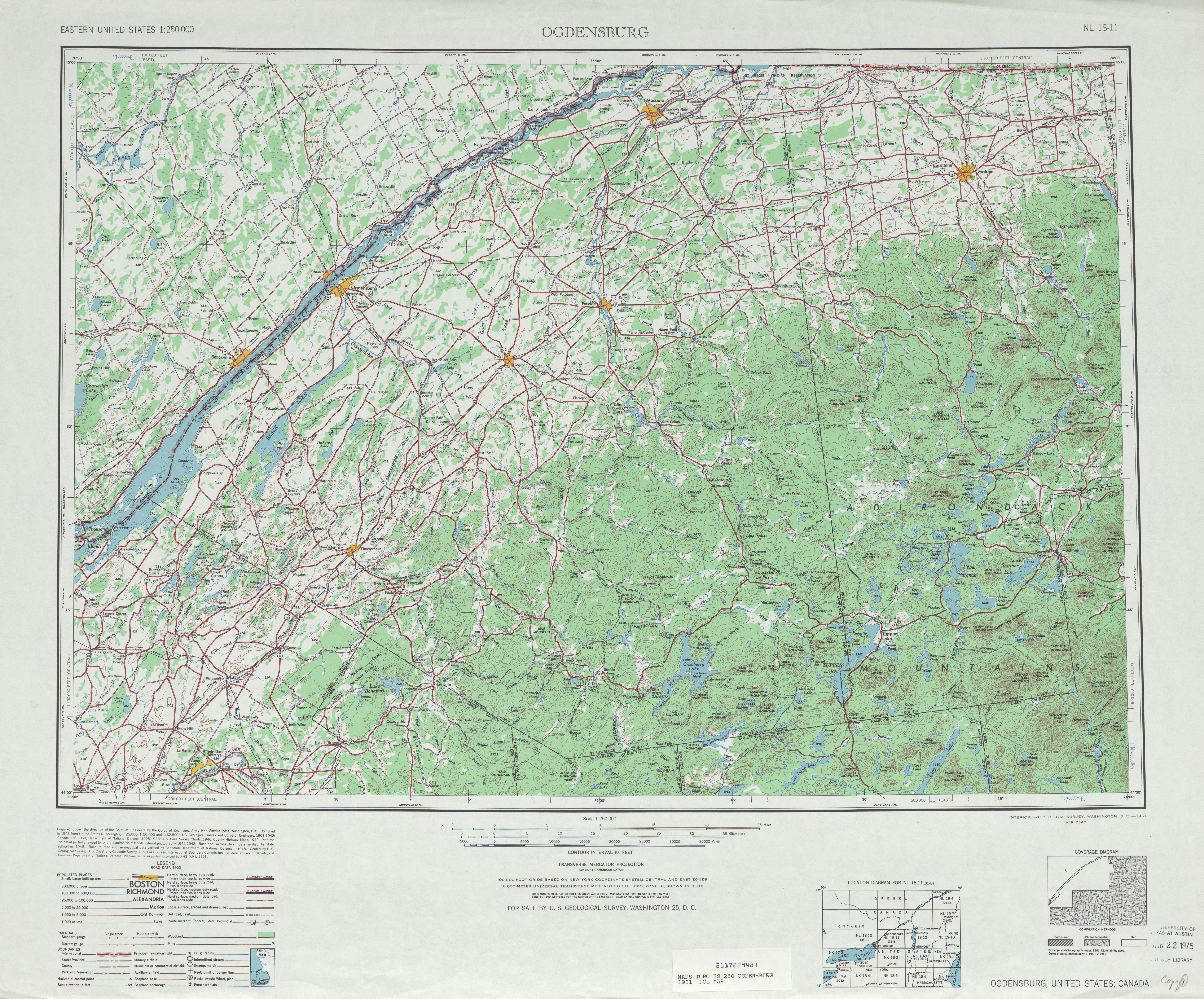
- ^ United States Geological Survey. Ogdensburg, NY Quadrangle [map], 1:250,000, Eastern United States 1:250,000. (1951) Retrieved on 2007-11-21.

