New York State Route 365
From Wikipedia, the free encyclopedia
 |
|||||||||||||||||
| NY Route 365 |
|||||||||||||||||
| Length: | 44.26 mi[1] (71.23 km) | ||||||||||||||||
|---|---|---|---|---|---|---|---|---|---|---|---|---|---|---|---|---|---|
| Formed: | 1930s[2] | ||||||||||||||||
| West end: | |||||||||||||||||
| Major junctions: |
|||||||||||||||||
| East end: | |||||||||||||||||
| Counties: | Oneida, Herkimer | ||||||||||||||||
|
|||||||||||||||||
New York State Route 365 (NY 365) is a state route located in central New York. The route runs from Oneida to Ohio, a distance of 44.26 miles (71.23 km), connecting NY 5 with NY 8. NY 365 spans the Hinckley Reservoir in Hinckley, Herkimer County, where a scenic roadside picnic area is operated by the New York State Department of Environmental Conservation.
Contents |
[edit] Route Description
[edit] Oneida to Rome
NY 365 begins at NY 5 in Oneida as State Street. It takes a northerly direction as it passes through Oneida Castle. Eventually, it passes through NY 365A (Prospect Street). It then enters the Town of Verona, as it travels in a northeast direction. NY 365 shortly turns into a divided highway as it passes the Turning Stone Casino. It shortly approaches the New York State Thruway (Interstate 90 (New York)|Interstate 90]] as Exit 33. NY 365 continues as a divided highway and intersects with NY 31.
NY 365 continues as a divided highway through the Town of Verona. It eventually enters the Inner District of the City of Rome. NY 365 then passes the Mohawk Correctional Facility, as it becomes a limited access highway. From this point on, it is overlapped with several other state rotues. It intersects with NY 26, which overlaps with it for a short distance, until the interchange with South James Street. Shortly after, NY 365 intersects with NY 49/NY 69, and they both overlap NY 365. NY 365 then has an interchange with NY 233, and NY 69 leaves the overlap at this interchange. NY 365/NY 49 continue towards Rome, until NY 365 exits the limited access highway, leaving NY 49, which travels to Utica.
NY 365 continues along East Dominick Street, and passes Shady Grove Trail, which gives access to NY 825. Eventually, it changes its road name to River Road. NY 365 turns left onto New Floyd Road, headed towards Floyd.
[edit] Rome to Barneveld
NY 365 passes through Floyd, and eventually intersects with NY 291. Beyond this intersection, NY 365 passes through the Village of Holland Patent. In Holland Patent, NY 365 intersects with NY 274. NY 365 then enters the Village of Barneveld, where it intersects with NY 12/NY 28.
[edit] Barneveld to Ohio
|
|
Please help improve this section by expanding it. Further information might be found on the talk page or at requests for expansion. |
[edit] History
NY 365 was assigned in the mid-1930s to a previously unnumbered alignment between Oneida and Barneveld by way of Rome. The route also continued northeast into Adirondack Park to Plattsburgh, overlapping NY 28 from Barneveld through Forestport to Blue Mountain Lake, NY 10 (now NY 30) from Blue Mountain Lake to Tupper Lake, and NY 3 from Tupper Lake to Plattsburgh.[2] The overlaps with NY 28, NY 10 and NY 3 were eliminated when NY 365 was truncated to NY 12C west of Holland Patent between 1946 and 1962. NY 12C, which NY 365 overlapped between Holland Patent and Barneveld, remained intact.[3][4]
Originally, modern NY 365 between Barneveld and NY 8 in Ohio was designated as New York State Route 287 in the 1930 renumbering.[5] The designation remained in place until January 1, 1970, when it, as well as NY 12C from Holland Patent to Barneveld, became part of an extended NY 365.[6]
The NY 365 designation was briefly used in the early 1930s for a spur off NY 17 in Chemung County.[7]
[edit] NY 365A

NY 365A (3.47 miles (5.58 km)[1]) is a spur connecting NY 365 to downtown Oneida. The route begins at NY 5 southwest of the city and intersects NY 46 in the center of Oneida before ending at NY 365 east of the city.
[edit] Major intersections
| County | Location | Mile[1] | Roads intersected | Notes |
|---|---|---|---|---|
| Oneida | Oneida | 0.00 | ||
| 0.87 | Eastern terminus of NY 365A | |||
| Verona | 3.83 | Exit 33 (I-90/Thruway) | ||
| 4.79 | ||||
| Rome | 11.19 | Western terminus of overlap | ||
| 12.99 | Interchange; eastern terminus of overlap | |||
| 13.24 | Interchange; western termini of NY 49/365 and NY 69/365 overlaps | |||
| 13.56 | Interchange; eastern terminus of NY 69/365 overlap; northern terminus of NY 233 | |||
| 14.68 | Interchange; eastern terminus of NY 49/365 overlap | |||
| Trenton | 23.05 | Northern terminus of NY 291 | ||
| Holland Patent | 24.79 | Southern terminus of NY 274 | ||
| Barneveld | 29.71 | |||
| Prospect | 31.93 | State Street (NY 920V) | Former routing of |
|
| Herkimer | Ohio | 44.26 | Hamlet of Wilmurt |
[edit] References
- ^ a b c Traffic Data Report - NY 305 to NY 427 (PDF). NYSDOT (2007-07-16). Retrieved on 2007-12-13.
- ^ a b Automobile Legal Association (ALA) Automobile Green Book, 1938/39 edition, (W.A. Thibodeau, 1938).
- ^ Rand McNally. Rand McNally Road Atlas (northern New York and Ontario) [map]. (1946) Retrieved on 2007-12-13.
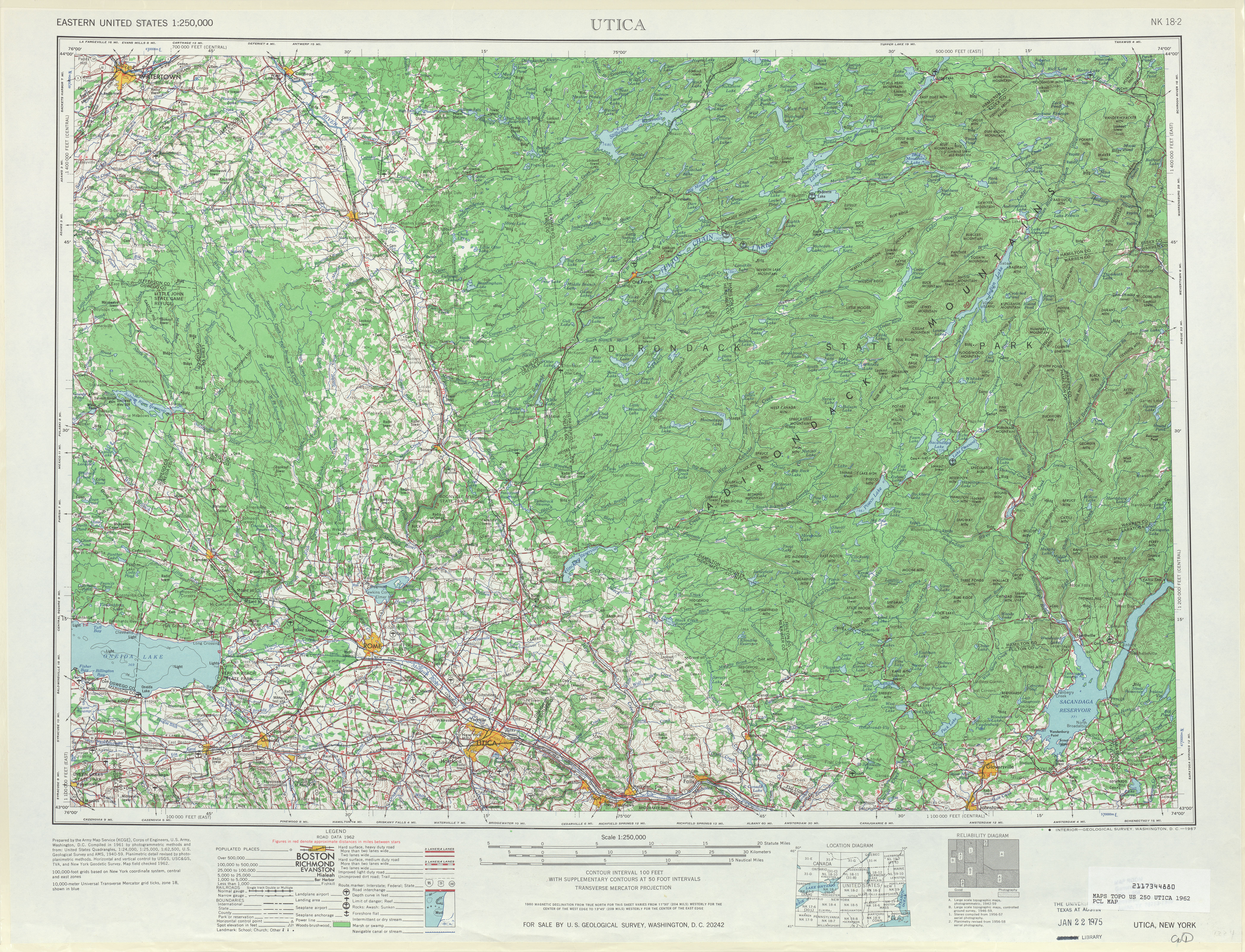
- ^ United States Geological Survey. Utica, NY Quadrangle [map], 1:250,000, Eastern United States 1:250,000. (1962) Retrieved on 2007-12-13.
- ^ Automobile Legal Association (ALA) Automobile Green Book, 1930/31 and 1931/32 editions, (Scarborough Motor Guide Co., Boston, 1930 and 1931). The 1930/31 edition shows New York state routes prior to the 1930 renumbering
- ^ State of New York Department of Transportation (1970-01-01). Official Description of Touring Routes in New York State. Retrieved on 2007-12-13.
- ^ Pennsylvania Department of Highways. Tourist Map of Pennsylvania [map]. (1930) Retrieved on 2008-03-25.

