Image:Shadow picture of Iwate prefecture.png
From Wikipedia, the free encyclopedia
No higher resolution available.
Shadow_picture_of_Iwate_prefecture.png (287 × 395 pixels, file size: 2 KB, MIME type: image/png)
| | This is a file from the Wikimedia Commons. The description on its description page there is shown below.
|
| Description |
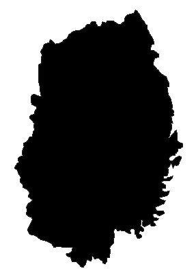
日本語: 日本国・岩手県の影絵
English: The shadow picture of Iwate Prefecture, Japan
|
||
|---|---|---|---|
| Source |
Data is from here |
||
| Date | |||
| Author |
Created by LERK |
||
| Permission (Reusing this image) |
|

File history
Click on a date/time to view the file as it appeared at that time.
| Date/Time | Dimensions | User | Comment | |
|---|---|---|---|---|
| current | 09:40, 21 March 2007 | 287×395 (2 KB) | LERK | ({{Information |Description={{ja|日本国・ja:岩手県の影絵}}{{en|The shadow picture of Iwate Prefecture, Japan}} |Source=Data is from [http://aoki2.si.gunma-u.ac.jp/map/map.html here] |Date= |Author=Created by LERK |P) |
File links
The following pages on the English Wikipedia link to this file (pages on other projects are not listed):
- Iwate Prefecture
- Kesen District, Iwate
- Morioka, Iwate
- Miyako, Iwate
- Ōfunato, Iwate
- Mizusawa, Iwate
- Hanamaki, Iwate
- Kitakami, Iwate
- Kuji, Iwate
- Tōno, Iwate
- Ichinoseki, Iwate
- Rikuzentakata, Iwate
- Kamaishi, Iwate
- Ninohe, Iwate
- Iwate District, Iwate
- Shiwa District, Iwate
- Waga District, Iwate
- Isawa District, Iwate
- Nishiiwai District, Iwate
- Higashiiwai District, Iwate
- Kamihei District, Iwate
- Shimohei District, Iwate
- Kunohe District, Iwate
- Ninohe District, Iwate
- Template:Iwate
- Category:Iwate Prefecture
- Hachimantai, Iwate
- Ōshū, Iwate

