Image:SFRYmap.PNG
From Wikipedia, the free encyclopedia
Size of this preview: 800 × 600 pixels
Full resolution (1,600 × 1,200 pixels, file size: 836 KB, MIME type: image/png)
| | This is a file from the Wikimedia Commons. The description on its description page there is shown below.
|
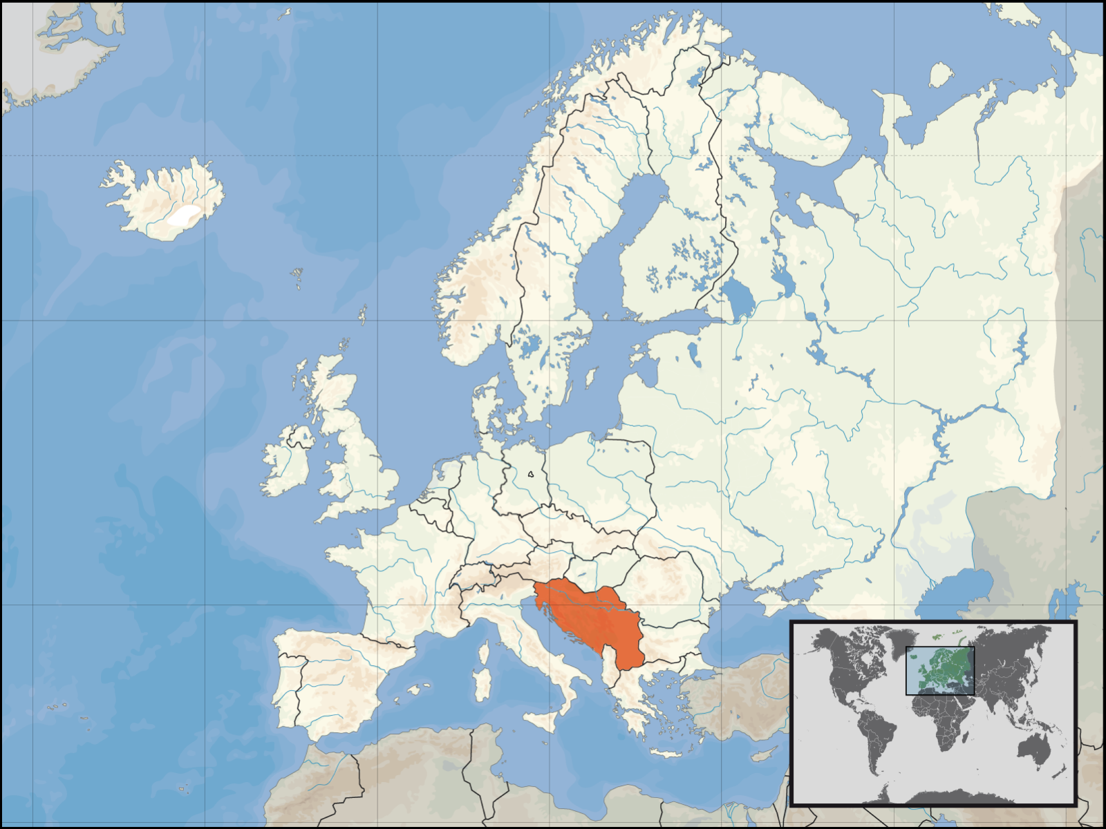
This is a locator map for en:SFRY. This map is based off of David Liuzzo's locator map. As that map is under the GFDL, this map is too.
[edit] Licensing

File history
Click on a date/time to view the file as it appeared at that time.
| Date/Time | Dimensions | User | Comment | |
|---|---|---|---|---|
| current | 19:40, 14 March 2008 | 1,600×1,200 (836 KB) | Lencer | (Add West-Berlin, delete false river Havel/Spree) |
| 12:48, 14 March 2008 | 1,600×1,200 (571 KB) | Kmusser | (corrected internal German boundary) | |
| 20:24, 18 August 2007 | 1,600×1,200 (531 KB) | B1mbo | (Removed Soviet borders) | |
| 22:19, 16 January 2007 | 1,600×1,200 (576 KB) | Bože pravde | (newer version) | |
| 04:04, 12 December 2006 | 800×600 (212 KB) | Bože pravde | (This is a locator map for en:SFRY. This map is based off of David Liuzzo's locator map. As that map is under the GFDL, this map is too. ==Licensing== {{GFDL}} Category:Locator maps for countries [[Category:Maps of Yugosla) |
File links
The following pages on the English Wikipedia link to this file (pages on other projects are not listed):

