Image:Peru regions, blank.png
From Wikipedia, the free encyclopedia
No higher resolution available.
Peru_regions,_blank.png (238 × 347 pixels, file size: 25 KB, MIME type: image/png)
| | This is a file from the Wikimedia Commons. The description on its description page there is shown below.
|
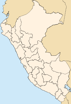
Map of Peru with regions
Created by Croquant - Dec. 2006


File history
Click on a date/time to view the file as it appeared at that time.
| Date/Time | Dimensions | User | Comment | |
|---|---|---|---|---|
| current | 13:03, 21 December 2006 | 238×347 (25 KB) | Croquant | (Map of Peru with regions Created by Croquant - Dec. 2006 {{GFDL-self}} Category:Maps of Peru ) |
File links
The following pages on the English Wikipedia link to this file (pages on other projects are not listed):
- Cusco
- Chimbote
- Arequipa
- Callao
- El Misti
- Cajamarca
- Ayacucho
- Chiclayo
- Huacho
- Iquitos
- Juliaca
- Pisco, Peru
- Piura
- Puno
- Ica (city)
- Cerro de Pasco
- Monsefú
- Moquegua
- Abancay
- Pucallpa
- Huánuco
- Tumbes (city)
- Huaraz
- Huancayo
- Jauja
- Sechura
- Tingo María
- Ilo
- Sullana
- Talara
- Chachapoyas, Peru
- Huaynaputina
- Cabana, Peru
- Yungay, Peru
- Urubamba, Peru
- Tarapoto
- Portal:Peru/Selected article
- Lamas, Peru
- Candarave
- Locumba
- Huanca Sancos
- Chachani
- Andahuaylas
- Alerta
- Andoas
- Atalaya, Ucayali
- La Oroya
- Ubinas
- Catacaos
- Caraz
- Carhuaz
- Casma
- Bagua, Peru
- Ampato
- Lamud
- Bagua Grande
- Celendín
- Aramango
- Chuquibamba
- Luya District
- Chincha Alta
- Quinua, Peru
- Chivay
- Cajunga
- Supe Puerto
- Jumbilla
- Ocros
- Pomabamba
- Sihuas
- Coropuna
- Sabancaya
- User:Ericbronder/Sandbox6
- Huaral
- Recuay, Peru
- Carancas impact event
- Portal:Peru/Selected article/3
- Template:Location map Peru
- Huari, Peru
- Antabamba
- Chalhuanca
- Tambobamba
- Aija, Peru
- Chincheros
- Chuquibambilla
- Huancané
- Putina
- La Unión, Huánuco
- Matucana, Peru
- Palpa, Peru
- Chota, Peru
- Ferreñafe
- Caravelí
- Jesús, Peru
- Omate
- Pucusana
- Azángaro
- Macusani
- Lampa, Puno
- Huambo, Arequipa
- Cangallo
View more links to this file.

