Image:Oxfordshire outline map with UK.png
From Wikipedia, the free encyclopedia
Size of this preview: 504 × 600 pixels
Full resolution (600 × 714 pixels, file size: 296 KB, MIME type: image/png)
| | This is a file from the Wikimedia Commons. The description on its description page there is shown below.
|
[edit] Summary
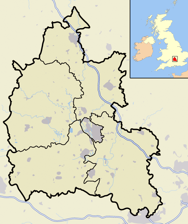
| Description |
Map of the county of Oxfordshire, England, United Kingdom |
|---|---|
| Source |
self-made |
| Date |
November 2007 |
| Author | |
| Permission (Reusing this image) |
See below |
[edit] Licensing
| I, the copyright holder of this work, hereby release it into the public domain. This applies worldwide. In case this is not legally possible: Afrikaans | Alemannisch | Aragonés | العربية | Asturianu | Български | Català | Česky | Cymraeg | Dansk | Deutsch | Eʋegbe | Ελληνικά | English | Español | Esperanto | Euskara | Estremeñu | فارسی | Français | Galego | 한국어 | हिन्दी | Hrvatski | Ido | Bahasa Indonesia | Íslenska | Italiano | עברית | Kurdî / كوردی | Latina | Lietuvių | Latviešu | Magyar | Македонски | Bahasa Melayu | Nederlands | Norsk (bokmål) | Norsk (nynorsk) | 日本語 | Polski | Português | Ripoarisch | Română | Русский | Shqip | Slovenčina | Slovenščina | Српски / Srpski | Svenska | ไทย | Tagalog | Türkçe | Українська | Tiếng Việt | Walon | 中文(简体) | 中文(繁體) | zh-yue-hant | +/- |
File history
Click on a date/time to view the file as it appeared at that time.
| Date/Time | Dimensions | User | Comment | |
|---|---|---|---|---|
| current | 16:09, 23 November 2007 | 600×714 (296 KB) | Jhamez84 | ({{Information |Description=Map of the county of Oxfordshire, England, United Kingdom |Source=self-made |Date=November 2007 |Author= Jhamez84 |Permission=See below |other_versions= }} ) |
File links
- Henley-on-Thames
- Uffington White Horse
- Wallingford
- Abingdon, Oxfordshire
- Iffley
- Banbury
- Wantage
- Didcot
- Harwell, Oxfordshire
- Bicester
- Witney
- Burford
- Thame
- Towersey
- Charlbury
- Carterton, Oxfordshire
- Chipping Norton, Oxfordshire
- Faringdon
- Woodstock, Oxfordshire
- Kidlington
- Elsfield
- Dorchester, Oxfordshire
- Goring-on-Thames
- Shrivenham
- Cowley, Oxfordshire
- Whitchurch-on-Thames
- Cropredy
- Botley, Oxfordshire
- Bloxham
- Churchill, Oxfordshire
- Wolvercote
- Crowmarsh Gifford
- Benson, Oxfordshire
- Shutford
- Littlemore
- Cholsey
- Ambrosden
- Farmoor Reservoir
- Watlington, Oxfordshire
- South Stoke, Oxfordshire
- Great Milton
- Chinnor
- Appleford-on-Thames
- Ascott-under-Wychwood
- Berinsfield
- Bourton, Cherwell
- Broadwell, Oxfordshire
- Rotherfield Greys
- Cutteslowe
- RAF Barford St John
- Standlake
- Rotherfield Peppard
- Drayton, Oxfordshire
- East Hagbourne
- Finmere
- Longcot
- St Bartholomew's Chapel, Oxford
- South Moreton
- Kingston Lisle
- Great Bourton
- Rose Hill, Oxfordshire
- Little Wittenham
- Long Wittenham
- Didcot Power Station
- Alice's Meadow
- Sunnymead
- Chalgrove
- Kirtlington
- Chalgrove Airfield
- RAF Mount Farm
- Stadhampton
- Watchfield
- Wootton, Vale of White Horse
- Launton
- Woodeaton
- Northmoor, Oxfordshire
- Beckley, Oxfordshire
- West Hagbourne
- Coscote
- Fulscot
- North Moreton
- Drayton St. Leonard
- Warborough
- Shillingford
- Newington, Oxfordshire
- Great Holcombe
- Littlestoke
- North Stoke, Oxfordshire
- Mongewell
- Newnham Murren
- Preston Crowmarsh
- Template talk:Infobox UK place/maps
- Bainton, Oxfordshire
- Marcham
- Bould
- Bow, Oxfordshire
- Appleton, Oxfordshire
- Ardington Wick
- Ascott d'Oyley
- Ascott Earl
View more links to this file.

