New York State Route 89
From Wikipedia, the free encyclopedia
 |
|||||||||||||
| NY Route 89 |
|||||||||||||
| Length: | 62.35 mi[1] (100.34 km) | ||||||||||||
|---|---|---|---|---|---|---|---|---|---|---|---|---|---|
| Formed: | 1930[2] | ||||||||||||
| South end: | |||||||||||||
| Major junctions: |
|||||||||||||
| North end: | |||||||||||||
| Counties: | Tompkins, Seneca, Wayne | ||||||||||||
|
|||||||||||||
New York State Route 89 is a 62.35 mile (100.34 km) north-south state highway in central New York. The southern terminus of NY 89 is at NY 13, NY 34, NY 79 and NY 96 near the Octopus in the Tompkins County city of Ithaca and its northern terminus is at NY 104 in Wolcott, Wayne County.
NY 89 spans a total of three counties, linking the northern portion of the Southern Tier with Upstate New York.
Contents |
[edit] Route description
| Communities |
|---|
[edit] Tompkins County
NY 89 begins at an intersection containing NY 13, NY 34, and NY 96 near the NY 13/NY 34-occupied Octopus in downtown Ithaca. Proceeding north, NY 89 crosses over the extreme southern tip of Cayuga Lake and runs along the western shore of the waterbody for the entire length of the lake.
After passing through Taughannock Falls State Park, NY 89 enters Seneca County.
[edit] Seneca County
Throughout its run through Seneca County, NY 89 is relatively isolated in relation to other state routes, running along the western shore of Cayuga Lake while NY 96 runs roughly parallel to it but on higher ground. The first touring routes that NY 89 intersects in Seneca County are NY 5 and US 20 at the northern tip of Cayuga Lake near Seneca Falls. NY 318 is also present at this junction.
North of Seneca Falls, NY 89 passes over the New York State Thruway, traverses the Montezuma National Wildlife Refuge and crosses the Erie Canal before entering Wayne County.
[edit] Wayne County
Just inside the Wayne County limits, NY 89 leaves its northern alignment and turns east onto Armitage Road, which straddles the Seneca-Wayne county line. Just over a mile to the east, NY 89 intersects NY 31. While NY 31 east travels to the southeast, entering Seneca County, NY 31 west joins NY 89 northbound toward Savannah.
In Savannah, Routes 31 and 89 pass over the CSX Rochester Subdivision before the two routes split in the center of town. NY 31 heads west toward Rochester while NY 89 continues northward.
Between Savannah and Wolcott, a distance of 10.5 miles, NY 89 endures another stretch where it does not meet any other touring routes. Instead, the route makes its way north toward Wolcott, intersecting a number of local and county roads before terminating at an interchange with the NY 104 super-2 south of the village of Wolcott.
[edit] History
NY 89 was assigned in the 1930 renumbering to what is now Lake Bluff Road and NY 414 from Ridge Road (then-U.S. Route 104) north of North Rose to Magee as well as to modern NY 318 from Magee to Seneca Falls. At the time, the current routing of NY 89 north of Seneca Falls, as well as the continuation of NY 89 to Ridge Road in Wolcott, was part of NY 44 while the routing from Ithaca to Seneca Falls was unbuilt.[2] The Ithaca-Seneca Falls roadway was in place by 1938 and became part of an extended NY 89.[3]
All of modern NY 89 north of Seneca Falls, as well as the entirety of NY 44, was renumbered as NY 414 in the mid-1930s.[4] The routings of NY 89 and NY 414 north of Seneca Falls were swapped between 1947 and 1961, placing NY 89 on its current alignment from Seneca Falls to Wolcott.[5][6] When the 104 Super-2 highway was constructed south of Wolcott in the early 1970s,[7] NY 89 was truncated to end at a partial-diamond interchange with NY 104 (former US 104).[8]
Since the realignment of NY 104 onto the Super-2, traffic on NY 104 west can no longer directly access NY 89. Likewise, traffic on NY 89 north can no longer directly access NY 104 eastbound. To compensate for this shortcoming, traffic on NY 104 westbound is directed to make a right on Countryman Road, the last intersection prior to NY 89, to access route 89 by way of a TO NY 89 sign assembly at the intersection. Although no such assembly exists on NY 89 northbound, the same routing (former NY 89 north to Countryman Road east to NY 104) can be used for NY 89 northbound traffic destined for NY 104 east.[9]
[edit] Major intersections
| County | Location | Mile[1] | Roads intersected | Notes |
|---|---|---|---|---|
| Tompkins | Ithaca | 0.00 | Eastern terminus of NY 89/96 overlap | |
| 0.10 | ||||
| 0.20 | Western terminus of overlap | |||
| Seneca | Town of Seneca Falls | 41.60 | Eastern terminus of NY 318 | |
| Wayne | Savannah | 48.30 | Southern terminus of overlap | |
| 51.53 | Northern terminus of overlap | |||
| Town of Wolcott | 62.35 |
[edit] References
- ^ a b Traffic Data Report - I-87 to NY 121 (PDF). NYSDOT (2007-07-16). Retrieved on 2007-11-19.
- ^ a b Automobile Legal Association (ALA) Automobile Green Book, 1930/31 and 1931/32 editions, (Scarborough Motor Guide Co., Boston, 1930 and 1931). The 1930/31 edition shows New York state routes prior to the 1930 renumbering
- ^ Automobile Legal Association (ALA) Automobile Green Book, 1938/39 edition, (W.A. Thibodeau, 1938).
- ^ Mid-West Map Company. Official Road Map - Pennsylvania/New Jersey [map]. (1937) Retrieved on 2007-11-19.
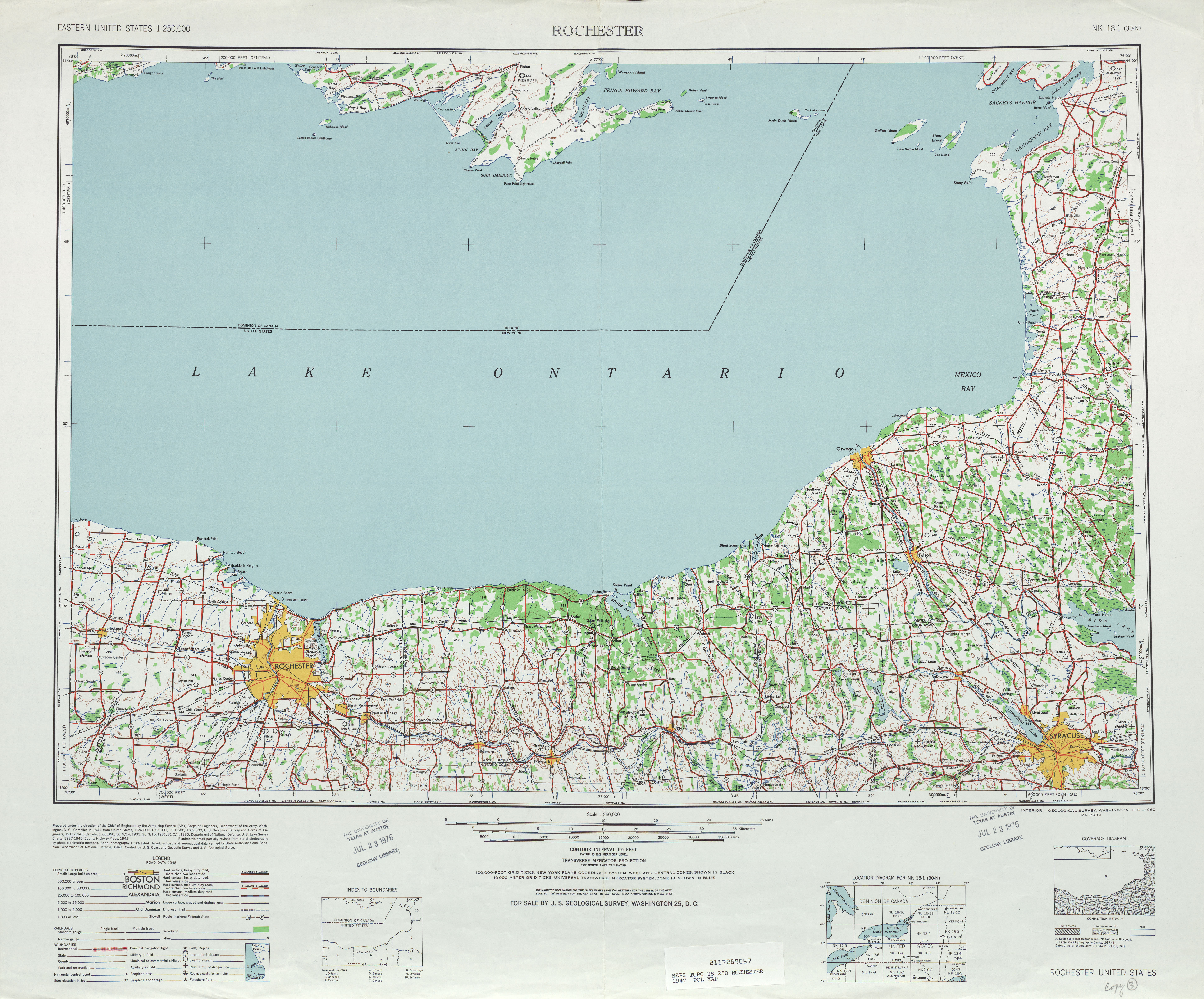
- ^ United States Geological Survey. Rochester, NY Quadrangle [map], 1:250,000, Eastern United States 1:250,000. (1947) Retrieved on 2007-11-19.
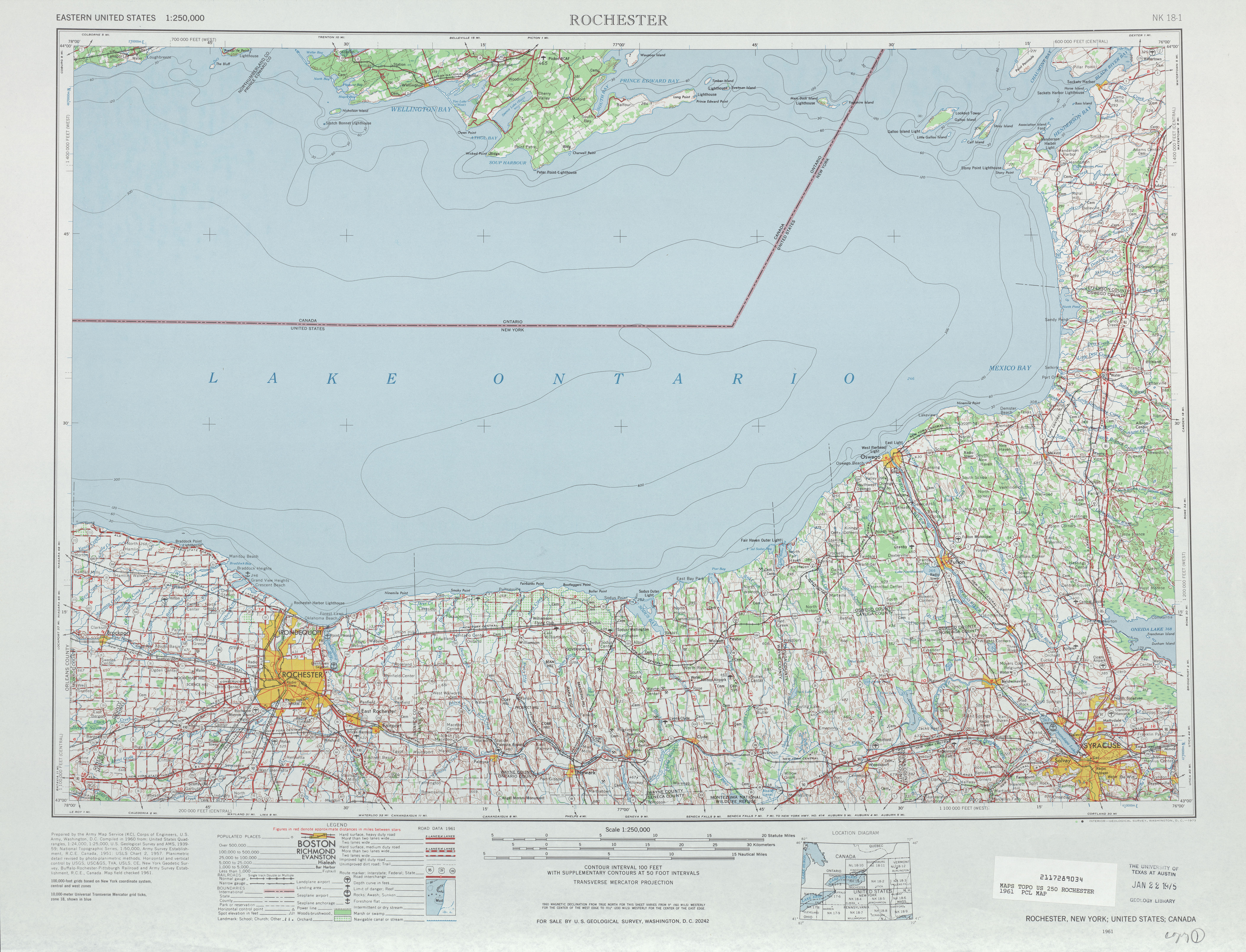
- ^ United States Geological Survey. Rochester, NY Quadrangle [map], 1:250,000, Eastern United States 1:250,000. (1961) Retrieved on 2007-11-19.
- ^ National Bridge Inventory, a database compiled by the United States Department of Transportation Federal Highway Administration, available at www.nationalbridges.com. Accessed 2007-11-19.
- ^ United States Geological Survey. Wolcott, NY Quadrangle [map], 1:24,000, 7.5 Minute Series (Topographic). (1978)
- ^ Google Maps - Wolcott, NY. Retrieved on 2007-11-19.

