User:Mitchazenia/County Route 682 (Middlesex County, New Jersey)
From Wikipedia, the free encyclopedia
 |
|||||||||
| County Route 682 |
|||||||||
| Finnegans Lane Maintained by Middlesex County |
|||||||||
| Length: | 1.05 mi[1] (1.69 km) | ||||||||
|---|---|---|---|---|---|---|---|---|---|
| South end: | |||||||||
| North end: | |||||||||
|
|||||||||
County Route 682 in Middlesex County, New Jersey is a little more than a 1 mile long and stretches from New Jersey Route 27 in North Brunswick to U.S. Route 1 in the same town. The road's speed limit is 40 mph.[1]
Contents |
[edit] Route description
County Route 682 begins at an intersection with Route 27 and Bennington Parkway in North Brunswick.[2] It begins as a 4-lane road known as Finnegans Lane. The road intersects with Kathy Street at .14 miles and Tulip Drive and Kory Drive at .30 miles. Petunia Drive and Avenue F intersect later as 682 continues as a 4-lane road. Petunia Drive, a road that circles a housing complex, leaves to the left at .59 miles. After intersecting with Avenue A, CR 682 comes to an end at an interchange with U.S. Route 1.[2]
[edit] History
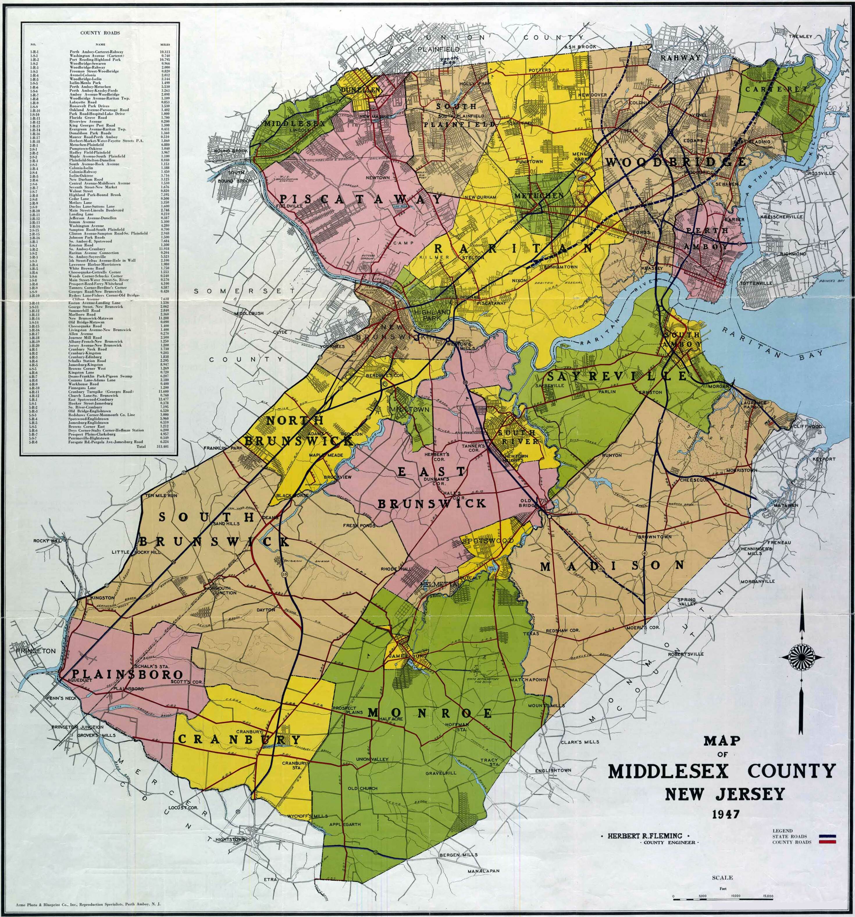
Before the 600-series numbering system was introduced in Middlesex County, County Route 682 was formerly known as County Route 4-R-10.[3]
[edit] Junction list
| County | Location | Mile[1] | Roads intersected | Notes |
|---|---|---|---|---|
| Middlesex | North Brunswick | 0.00 | Southern terminus | |
| 0.14 | Kathy Street | |||
| 0.30 | Tulip Drive;Kory Drive | |||
| 0.59 | Petunia Drive | |||
| 0.62 | Avenue F | |||
| 0.77 | Gwyn Avenue | |||
| 0.81 | Avenue B | |||
| 0.90 | Sassafras Court; Avenue A | |||
| 1.05 | Northern terminus |
[edit] See also
[edit] References
- ^ a b c New Jersey Department of Transportation (2006). County Route 682 straight line diagram. New Jersey Department of Transportation. Retrieved on 2007-08-29.
- ^ a b Google Maps (2007). Middlesex County, NJ Route 682. Google. Retrieved on 2007-08-29.
- ^ Rutgers (1947). 1947 map of Middlesex County. Rutgers. Retrieved on 2007-09-02.

