Image:Map-Kodaikanal-Vilpatti 250,000,AMS.jpg
From Wikipedia, the free encyclopedia

No higher resolution available.
Map-Kodaikanal-Vilpatti_250,000,AMS.jpg (400 × 449 pixels, file size: 208 KB, MIME type: image/jpeg)
[edit] Summary
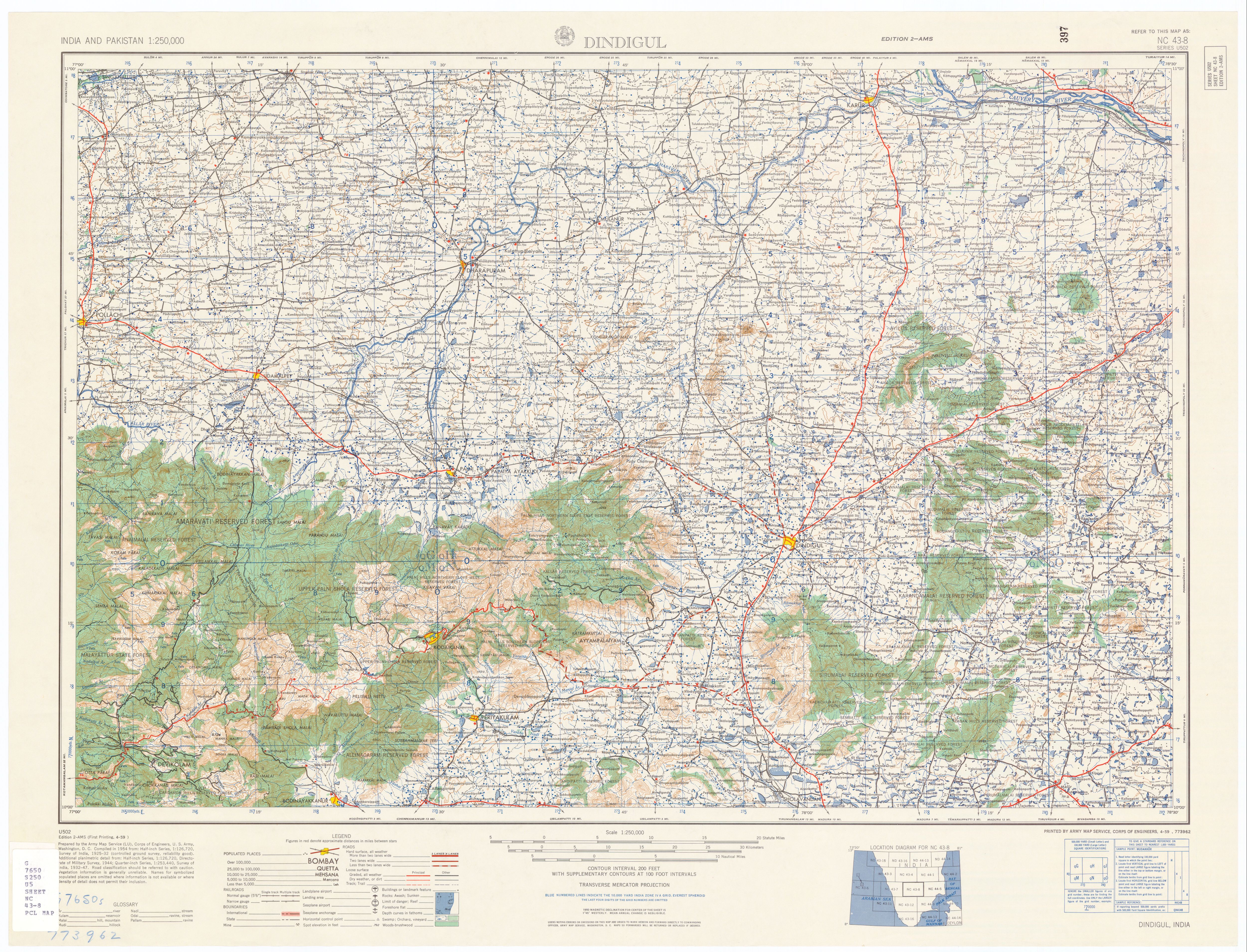
| Description |
Vilpatti, Kodaikanal, Tamil Nadu, India |
|---|---|
| Source |
U.S. Army Topology Command (cropped) |
| Date |
1955 |
| Author |
U.S. Army Map Service |
| Permission (Reusing this image) |
Public Domain |
| Other versions | http://www.lib.utexas.edu/maps/ams/india/nc-43-08.jpg , http://www.lib.utexas.edu/maps/ams/india/ |
[edit] Licensing
| This work is in the public domain in the United States because it is a work of the United States Federal Government under the terms of Title 17, Chapter 1, Section 105 of the US Code. See Copyright. Note: This only applies to works of the Federal Government and not to the work of any individual U.S. state, territory, commonwealth, county, municipality, or any other subdivision. |
 |
File history
Click on a date/time to view the file as it appeared at that time.
| Date/Time | Dimensions | User | Comment | |
|---|---|---|---|---|
| current | 20:48, 14 April 2007 | 400×449 (208 KB) | Marcus334 (Talk | contribs) | ({{Information |Description=Vilpatti, Kodaikanal, Tamil Nadu, India |Source=U.S. Army Topology Command (cropped) |Date=1955 |Author=U.S. Army Map Service |Permission=Public Domain |other_versions= http://www.lib.utexas.edu/maps/ams/india/nc-43-08.jpg , htt) |
- Search for duplicate files
- Edit this file using an external application
See the setup instructions for more information.
File links
The following pages on the English Wikipedia link to this file (pages on other projects are not listed):
Metadata
This file contains additional information, probably added from the digital camera or scanner used to create or digitize it. If the file has been modified from its original state, some details may not fully reflect the modified file.
| Orientation | Normal |
|---|---|
| Horizontal resolution | 400 dpi |
| Vertical resolution | 400 dpi |
| Software used | Adobe Photoshop 7.0 |
| File change date and time | 16:44, 14 April 2007 |
| Color space | 65535 |

