Image:Autoroute A10.jpg
From Wikipedia, the free encyclopedia
No higher resolution available.
Autoroute_A10.jpg (640 × 480 pixels, file size: 141 KB, MIME type: image/jpeg)
| | This is a file from the Wikimedia Commons. The description on its description page there is shown below.
|
| I, the copyright holder of this work, hereby release it into the public domain. This applies worldwide. In case this is not legally possible: Afrikaans | Alemannisch | Aragonés | العربية | Asturianu | Български | Català | Česky | Cymraeg | Dansk | Deutsch | Eʋegbe | Ελληνικά | English | Español | Esperanto | Euskara | Estremeñu | فارسی | Français | Galego | 한국어 | हिन्दी | Hrvatski | Ido | Bahasa Indonesia | Íslenska | Italiano | עברית | Kurdî / كوردی | Latina | Lietuvių | Latviešu | Magyar | Македонски | Bahasa Melayu | Nederlands | Norsk (bokmål) | Norsk (nynorsk) | 日本語 | Polski | Português | Ripoarisch | Română | Русский | Shqip | Slovenčina | Slovenščina | Српски / Srpski | Svenska | ไทย | Tagalog | Türkçe | Українська | Tiếng Việt | Walon | 中文(简体) | 中文(繁體) | zh-yue-hant | +/- |
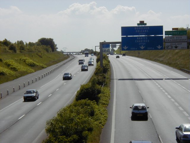
- From fr.wiki: Prise de vue à la hauteur de Villebon-sur-Yvette, dans l'Essonne. Sur le panneau, on peut lire les directions de Bordeaux, Orléans, Nantes et Chartres.
[edit] Origine
Photo prise par Arnaudus en 2004.
[edit] Licence

| date/time | username | edit summary |
|---|---|---|
| 5 juin 2004 à 09:35 | Template namespace initialisation script | |
| 20 mai 2004 à 20:49 | Arnaudus | (Licence & Auteur) |
| 20 mai 2004 à 20:48 | Arnaudus | (== Autoroute A 10 ==) |
File history
Click on a date/time to view the file as it appeared at that time.
| Date/Time | Dimensions | User | Comment | |
|---|---|---|---|---|
| current | 07:36, 14 June 2007 | 640×480 (141 KB) | Grondin | (Correction des niveaux d'entrées des couleurs. Utilisation de GIMP 2.3.18) |
| 20:32, 18 January 2005 | 640×480 (54 KB) | Michiel1972 | ({{PD}} - From FR.wik: Prise de vue à la hauteur de Villebon-sur-Yvette, dans l'Essonne. Sur le panneau, on peut lire les directions de Bordeaux, Orléans, Nantes et Chartres.) |
File links
Metadata
This file contains additional information, probably added from the digital camera or scanner used to create or digitize it. If the file has been modified from its original state, some details may not fully reflect the modified file.
| Camera manufacturer | OLYMPUS OPTICAL CO.,LTD |
|---|---|
| Camera model | C900Z,D400Z |
| Exposure time | 1/238 sec (0.0042016806722689) |
| F-number | f/12.5 |
| Date and time of data generation | Unknown date |
| Lens focal length | 15.7 mm |
| Image title | OLYMPUS DIGITAL CAMERA |
| Orientation | Normal |
| Horizontal resolution | 72 dpi |
| Vertical resolution | 72 dpi |
| Software used | GIMP |
| File change date and time | 09:35, 14 June 2007 |
| Y and C positioning | 2 |
| ISO speed rating | 100 |
| Exif version | 2.1 |
| Date and time of digitizing | Unknown date |
| Image compression mode | 1 |
| Exposure bias | 0 |
| Maximum land aperture | 3 |
| Metering mode | Pattern |
| Light source | Unknown |
| Flash | 0 |
| Color space | sRGB |

