Image:World map with major latitude circles.jpg
From Wikipedia, the free encyclopedia
Size of this preview: 800 × 412 pixels
Full resolution (3,630 × 1,870 pixels, file size: 1.29 MB, MIME type: image/jpeg)
| | This is a file from the Wikimedia Commons. The description on its description page there is shown below.
|
[edit] Summary
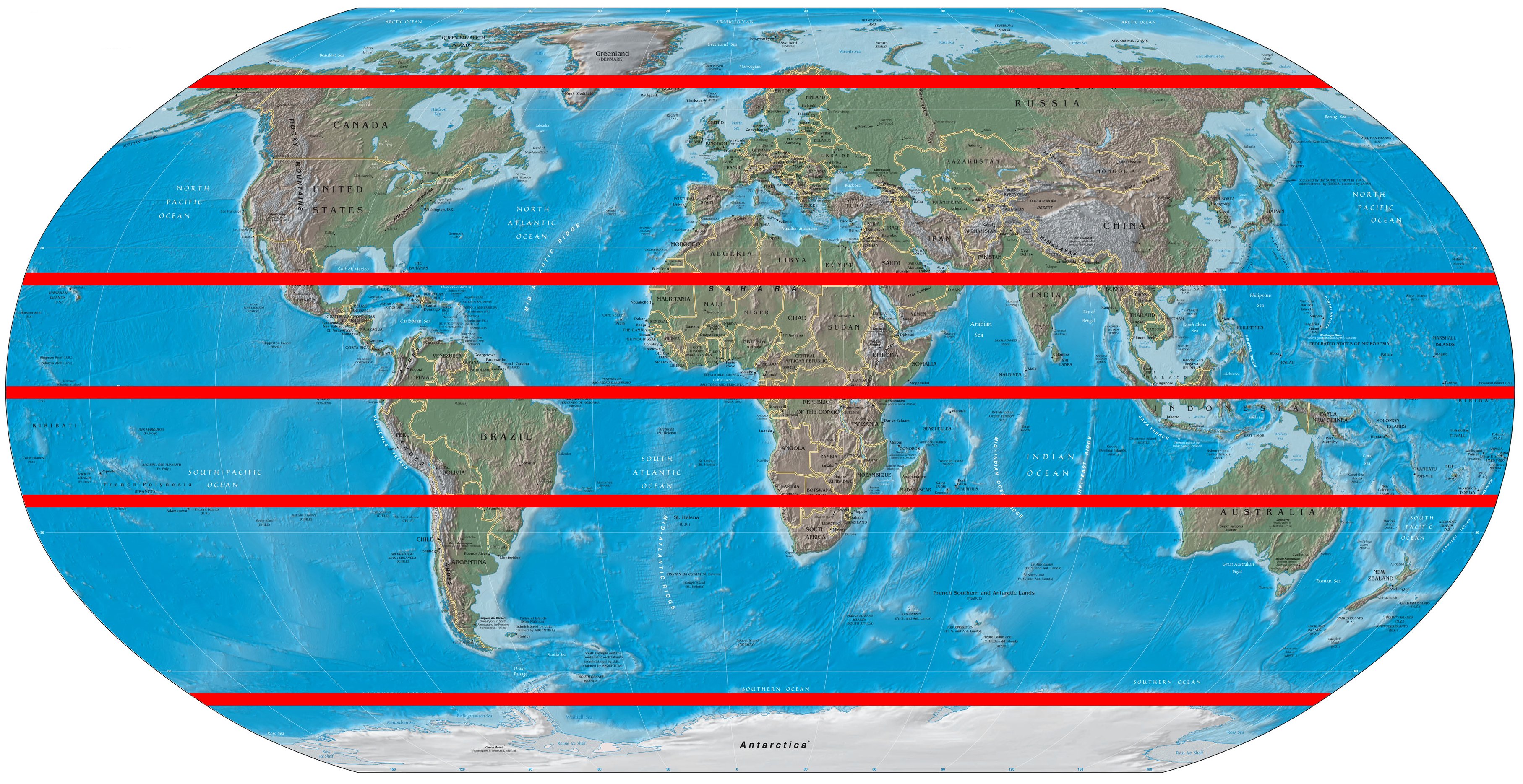
| Description |
Based on public domain CIA World Fact book image with the five major latitudes (Artic Cricle, Tropic of Cancer, Equator, Tropic of Capricorn, Antarctic Circle) bolded in red |
|---|---|
| Source | |
| Date | |
| Author | |
| Permission (Reusing this image) |
GFDL |
The original is a GIMP native XCF format (16 MB) which contains the base map with lines contained on separate layers. Please contact me if interested to produce best results.
[edit] Licensing

File history
Click on a date/time to view the file as it appeared at that time.
| Date/Time | Dimensions | User | Comment | |
|---|---|---|---|---|
| current | 03:37, 28 July 2006 | 3,630×1,870 (1.29 MB) | Cburnett | (I had drawn the line incorrectly at 30 degrees) |
| 03:05, 28 July 2006 | 3,630×1,870 (1.29 MB) | Cburnett | (Based on Image:World-map-2004-cia-factbook-large-2m.jpg with the five major latitudes (Artic Cricle, Tropic of Cancer, Equator, Tropic of Capricorn, Antarctic Circle) shown in red) |
File links
The following pages on the English Wikipedia link to this file (pages on other projects are not listed):

