Image:Westernsaharamapunlabeled.png
From Wikipedia, the free encyclopedia
Size of this preview: 602 × 599 pixels
Full resolution (1,009 × 1,004 pixels, file size: 157 KB, MIME type: image/png)
| | This is a file from the Wikimedia Commons. The description on its description page there is shown below.
|
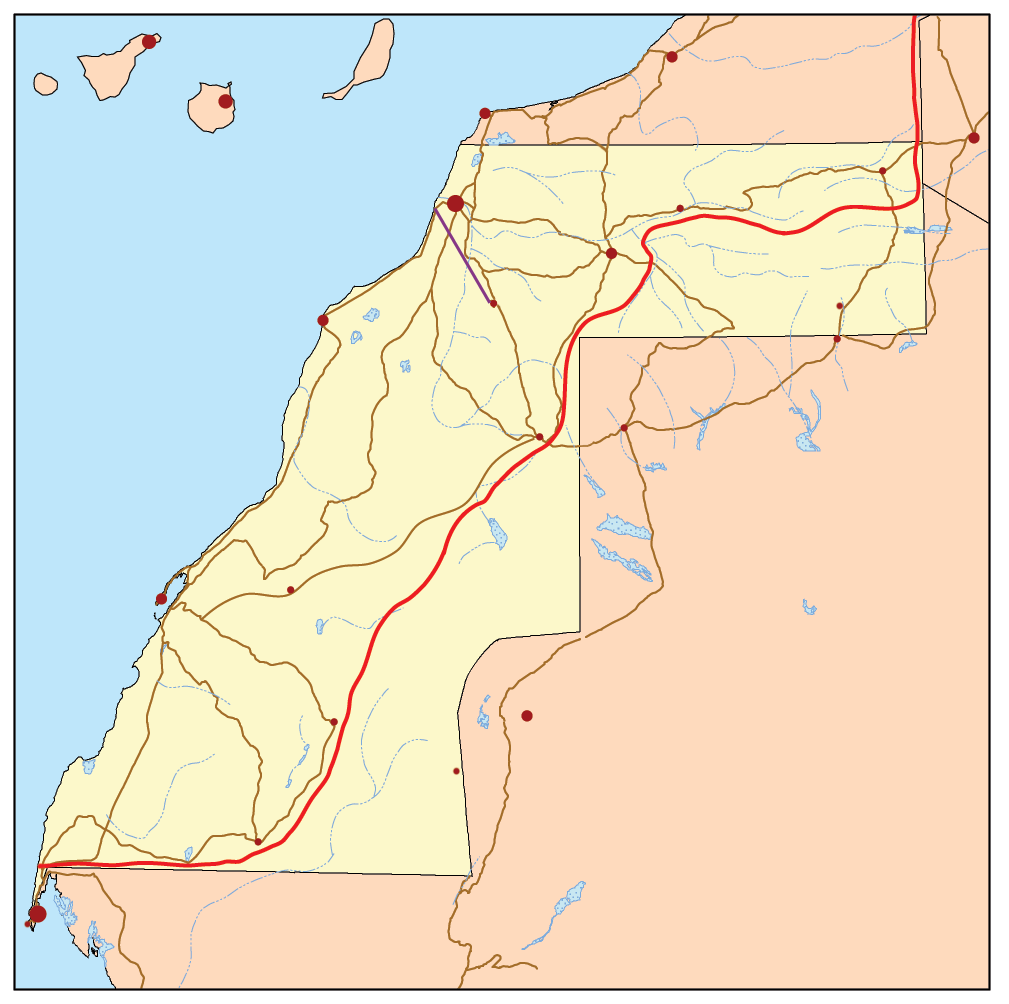
This is a general map of Western Sahara based primarily on the Digital Chart of the World. With this UN map and commercial atlases (Rand McNally, Google, Encarta, and National Geographic) used as references. The English language version of this map is at image:Westernsaharamap.png
|
File history
Click on a date/time to view the file as it appeared at that time.
| Date/Time | Dimensions | User | Comment | |
|---|---|---|---|---|
| current | 14:34, 2 February 2007 | 1,009×1,004 (157 KB) | Kmusser | (This is a general map of Western Sahara based primarily on the Digital Chart of the World. With [http://www.un.org/depts/Cartographic/map/dpko/minurso.pdf this UN map] and commercial atlases (Ran) |
File links
The following pages on the English Wikipedia link to this file (pages on other projects are not listed):

