Image:Washington-Baltimore-Northern Virginia CSA, 2005.png
From Wikipedia, the free encyclopedia
Size of this preview: 800 × 599 pixels
Full resolution (953 × 713 pixels, file size: 130 KB, MIME type: image/png)
| | This is a file from the Wikimedia Commons. The description on its description page there is shown below.
|
| Description |
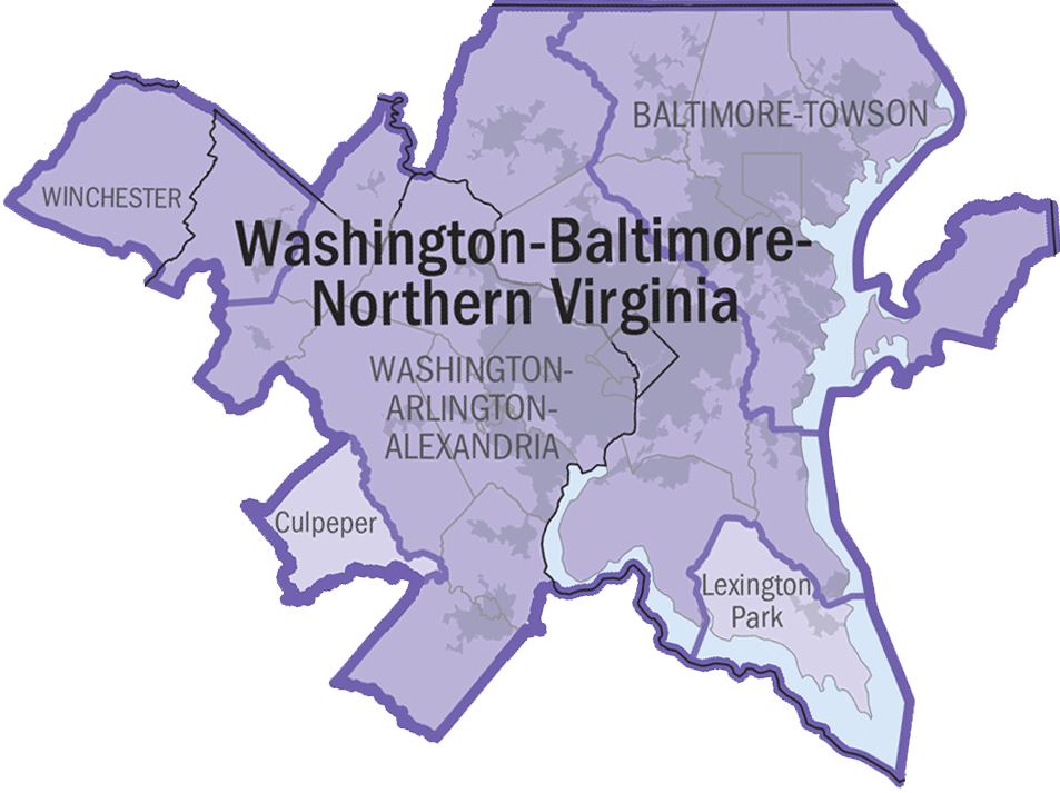
2005 Washington-Baltimore-Northern Virginia Combined Statistical Area. |
|||
|---|---|---|---|---|
| Source |
http://www.census.gov/geo/www/maps/msa_maps2005/us_wall_1205.html |
|||
| Date |
2005 |
|||
| Author |
N/A |
|||
| Permission (Reusing this image) |
|

File history
Click on a date/time to view the file as it appeared at that time.
| Date/Time | Dimensions | User | Comment | |
|---|---|---|---|---|
| current | 20:49, 5 July 2006 | 953×713 (130 KB) | Tom | (transparency) |
| 20:44, 5 July 2006 | 953×713 (129 KB) | Tom | ({{Information |Description=2005 Washington-Baltimore-Northern Virginia Combined Statistical Area. |Source=http://www.census.gov/geo/www/maps/msa_maps2005/us_wall_1205.html |Date=2005 |Author=N/A |Permission={{P) |
File links
The following pages on the English Wikipedia link to this file (pages on other projects are not listed):

