Image:VVCH Service Area Map.jpg
From Wikipedia, the free encyclopedia
No higher resolution available.
VVCH_Service_Area_Map.jpg (520 × 471 pixels, file size: 104 KB, MIME type: image/jpeg)
[edit] Summary
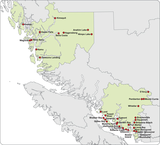
Vancouver Coastal Health, Communicaiotns & Public Affairs Department, http://www.vch.ca, produced for public education by VCH
[edit] Licensing
|

File history
Click on a date/time to view the file as it appeared at that time.
| Date/Time | Dimensions | User | Comment | |
|---|---|---|---|---|
| current | 18:13, 8 January 2008 | 520×471 (104 KB) | Vchimage (Talk | contribs) | (Vancouver Coastal Health, Public Affairs Department, www.vch.ca, produced for public education by VCH COmmunicaiotns Department) |
- Search for duplicate files
- Edit this file using an external application
See the setup instructions for more information.
File links
The following pages on the English Wikipedia link to this file (pages on other projects are not listed):

