Image:Vinland-map greenland.jpg
From Wikipedia, the free encyclopedia

No higher resolution available.
Vinland-map_greenland.jpg (288 × 276 pixels, file size: 38 KB, MIME type: image/jpeg)
[edit] Summary
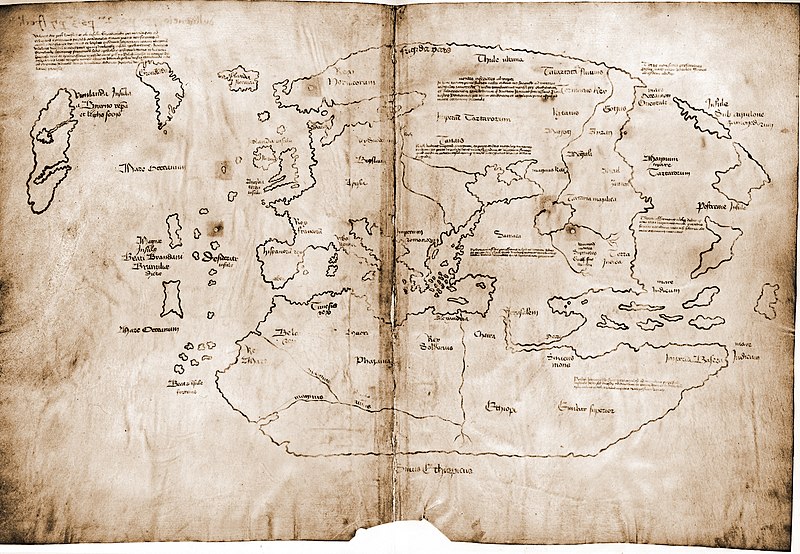
Monochrome enlargement of small-scale map of Greenland from "Harmsworth's Atlas of the World" (Amalgamated Press, 1922; now out-of-copyright) overlaid by this contributor, David Trochos, in green at the same scale and angle, with the representation of Greenland from the Vinland Map scan in Wikimedia Commons ( http://upload.wikimedia.org/wikipedia/commons/thumb/d/dd/Vinland_Map_HiRes.jpg/800px-Vinland_Map_HiRes.jpg )
[edit] Licensing
| I, the copyright holder of this work, hereby release it into the public domain. This applies worldwide. In case this is not legally possible, |
File history
Click on a date/time to view the file as it appeared at that time.
| Date/Time | Dimensions | User | Comment | |
|---|---|---|---|---|
| current | 19:13, 9 November 2007 | 288×276 (38 KB) | David Trochos (Talk | contribs) | (Monochrome enlargement of small-scale map of Greenland from "Harmsworth's Atlas of the World" (Amalgamated Press, 1922; now out-of-copyright) overlaid by this contributor, David Trochos, in green at the same scale and angle, with the representation of Gre) |
| 20:04, 29 October 2007 | 288×276 (33 KB) | David Trochos (Talk | contribs) | (Monochrome enlargement of small-scale map of Greenland from "Harmsworth's Atlas of the World" (Amalgamated Press, 1922; now out-of-copyright) overlaid by this contributor, David Trochos, in green at the same scale and angle, with the representation of Gre) |
- Search for duplicate files
- Edit this file using an external application
See the setup instructions for more information.
File links
The following pages on the English Wikipedia link to this file (pages on other projects are not listed):

