Image:USACE Perdido Bay.jpg
From Wikipedia, the free encyclopedia
Size of this preview: 800 × 575 pixels
Full resolution (1,500 × 1,079 pixels, file size: 438 KB, MIME type: image/jpeg)
| | This is a file from the Wikimedia Commons. The description on its description page there is shown below.
|
| Description |
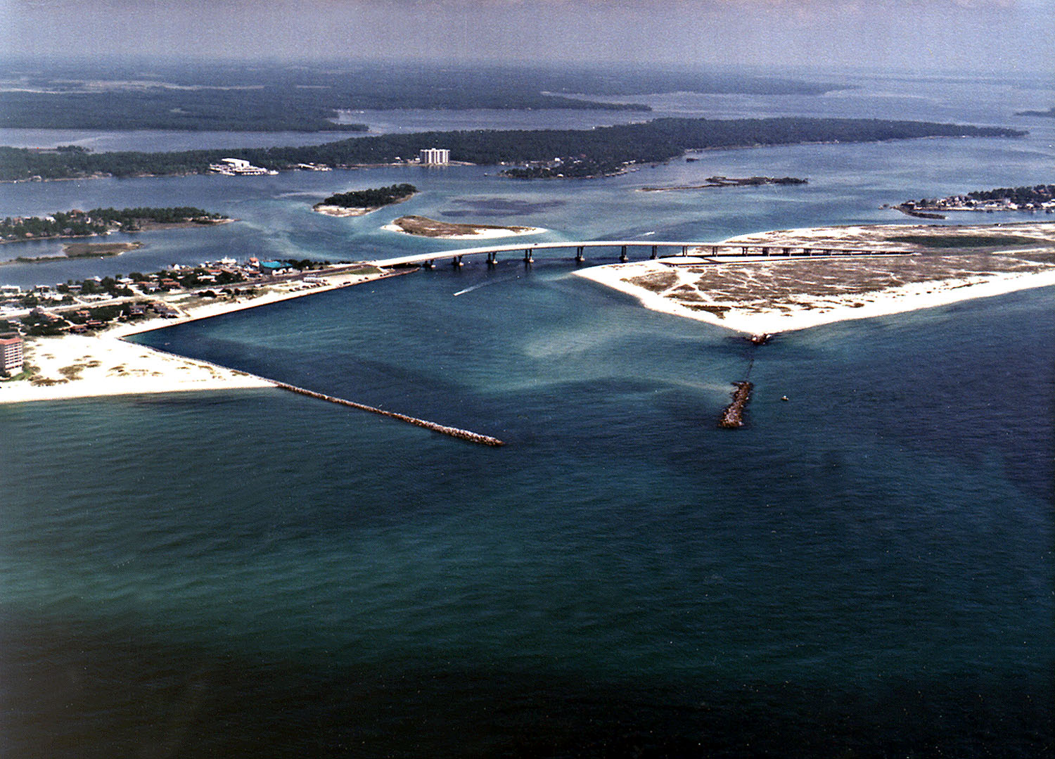
English: Perdido Pass, the mouth of the Perdido River and Perdido Bay on the Gulf of Mexico at Orange Beach, Alabama, USA. Alabama State Route 182 crosses the inlet. The image description on the USACE source page has misidentified the highway on the bridge as U.S. Route 98.
|
|||
|---|---|---|---|---|
| Source |
U.S. Army Corp of Engineers Digital Visual Library |
|||
| Date |
not specified |
|||
| Location | Orange Beach, Alabama, USA 30°16′40.96″N, 87°33′18.72″W |
|||
| Author |
Adrien Lamarre, U.S. Army Corps of Engineers |
|||
| Permission |
|
|||
| Other versions of this file |
File history
Click on a date/time to view the file as it appeared at that time.
| Date/Time | Dimensions | User | Comment | |
|---|---|---|---|---|
| current | 04:35, 14 March 2007 | 1,500×1,079 (438 KB) | DanMS | ({{Information | Description = Perdido Pass, the mouth of the Perdido River and Perdido Bay on the Gulf of Mexico at Orange Beach, Alabama, USA. Alabama State Route 182 crosses the inlet. The image description on the USACE source page has misidentified the) |
File links
The following pages on the English Wikipedia link to this file (pages on other projects are not listed):

