Image:Us canada eu 2007.png
From Wikipedia, the free encyclopedia
No higher resolution available.
Us_canada_eu_2007.png (738 × 375 pixels, file size: 20 KB, MIME type: image/png)
| | This is a file from the Wikimedia Commons. The description on its description page there is shown below.
|
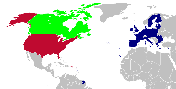
This is a map of the US, Canada and the EU for use after Romania and Bulgaria join the EU in 2007. The map is the same as en:Image:Us canada eu.png; however French Guiana and Puerto Rico have been added. This map is based off of Image:BlankMap-World-v5-EU.png.
[edit] Licensing
| This image has been released into the public domain by its author, Hoshie. This applies worldwide. In some countries this may not be legally possible; if so: العربية | Български | Deutsch | Ελληνικά | English | Español | Français | Italiano | 日本語 | 한국어 | Polski | Русский | Српски / Srpski | Svenska | தமிழ் | Українська | 中文(繁體) | 中文(简体) +/- |
File history
Click on a date/time to view the file as it appeared at that time.
| Date/Time | Dimensions | User | Comment | |
|---|---|---|---|---|
| current | 23:28, 12 April 2008 | 738×375 (20 KB) | Hoshie | (St. Barts and St. Martin are in the EU) |
| 03:58, 6 March 2007 | 738×375 (20 KB) | Hoshie | (added more details of places in and out of the EU.) | |
| 20:51, 13 December 2006 | 703×363 (18 KB) | Hoshie | (Fixed an island off of Alaska. under same license as original.) | |
| 04:06, 18 November 2006 | 703×363 (18 KB) | Hoshie | (This is a map of the US, Canada and the EU for use after Romania and Bulgaria join the EU in 2007. The map is the same as en:Image:Us canada eu.png; however French Guiana and Puerto Rico have been added. This map is based off of [[:Image:BlankMap-Wor) |
File links
The following pages on the English Wikipedia link to this file (pages on other projects are not listed):

