Image:US map-Northeast.PNG
From Wikipedia, the free encyclopedia
No higher resolution available.
US_map-Northeast.PNG (572 × 371 pixels, file size: 16 KB, MIME type: image/png)
| | This is a file from the Wikimedia Commons. The description on its description page there is shown below.
|
[edit] Summary
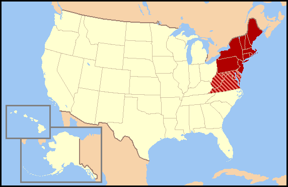
| Description |
This map was commissioned by WikiProject U.S. regions. Regional definitions vary from source to source and this map does not attempt to favor a single definition. There are most likely definitions that differ from yours so, please do not make changes to this map without discussing them on WikiProject U.S. regions' talk page. |
|---|---|
| Source | |
| Date |
12/12/2005 |
| Author | |
| Permission (Reusing this image) |
see below |
[edit] Licensing
|
NOTE: "subject to disclaimers" below may not actually apply, this was tagged with {{GFDL-user-en}}, and after May 2007, w:en:Template:GFDL-self did not require disclaimers. Please check the image description page on the English Wikipedia (or, if it has been deleted, ask an English Wikipedia administrator). See Wikipedia:GFDL standardization for details. |
|||
|
|||
|
Note: This tag should not be used. For images that were released on the English Wikipedia using either GFDL or GFDL-self with disclaimers, use {{GFDL-user-en-with-disclaimers}}. For images without disclaimers please use {{GFDL-user-en-no-disclaimers}} instead. If you are the copyright holder of files that were released on Wikipedia consider removing the disclaimers. |

File history
Click on a date/time to view the file as it appeared at that time.
| Date/Time | Dimensions | User | Comment | |
|---|---|---|---|---|
| current | 03:44, 7 April 2007 | 572×371 (16 KB) | Nikopoley | ({{Information |Description=This map was commissioned by WikiProject U.S. regions. Regional definitions vary from source to source and this map does not attempt to favor a single definition. There are most likely definitions that differ from yours so, plea) |

