Image:Unthank lane 557467 2e21888e.jpg
From Wikipedia, the free encyclopedia
No higher resolution available.
Unthank_lane_557467_2e21888e.jpg (640 × 480 pixels, file size: 111 KB, MIME type: image/jpeg)
| | This is a file from the Wikimedia Commons. The description on its description page there is shown below.
|
[edit] Summary
| Description |
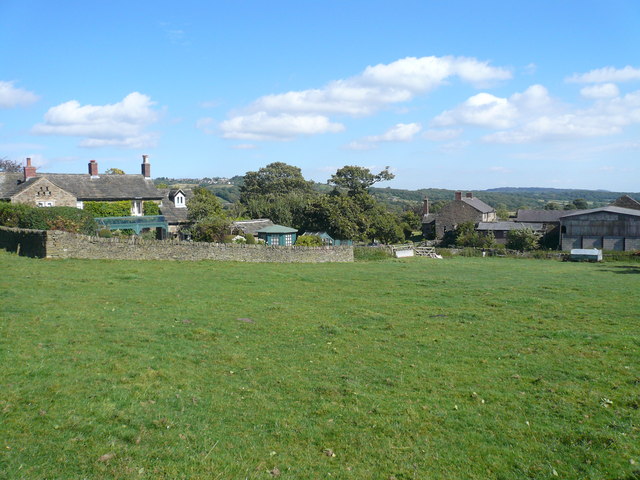
Unthank. Farmhouses on Unthank Lane Picture taken from footpath leading to Stripes Wood.OSGB36: geotagged! SK 309 760 [100m precision] WGS84: 53:16.8424N 1:32.2095W |
|---|---|
| Source | |
| Date |
2007 |
| Author |
Alan Heardman |
| Permission (Reusing this image) |
see below |
[edit] Licensing
| This file is licensed under Creative Commons Attribution 2.0 License |
File history
Click on a date/time to view the file as it appeared at that time.
| Date/Time | Dimensions | User | Comment | |
|---|---|---|---|---|
| current | 12:46, 9 April 2008 | 640×480 (111 KB) | Victuallers | ({{Information |Description=Unthank. Farmhouses on Unthank Lane Picture taken from footpath leading to Stripes Wood.OSGB36: geotagged! SK 309 760 [100m precision] WGS84: 53:16.8424N 1:32.2095W |Source=http://www.geograph.org.uk/ph) |
File links
The following pages on the English Wikipedia link to this file (pages on other projects are not listed):
Metadata
This file contains additional information, probably added from the digital camera or scanner used to create or digitize it. If the file has been modified from its original state, some details may not fully reflect the modified file.
| Camera manufacturer | Panasonic |
|---|---|
| Camera model | DMC-FX07 |
| Exposure time | 1/200 sec (0.005) |
| F-number | f/8 |
| Date and time of data generation | 13:21, 16 September 2007 |
| Lens focal length | 4.6 mm |
| Orientation | Normal |
| Horizontal resolution | 72 dpi |
| Vertical resolution | 72 dpi |
| Software used | Ver.1.0 |
| File change date and time | 13:21, 16 September 2007 |
| Y and C positioning | 2 |
| Exposure Program | Normal program |
| ISO speed rating | 100 |
| Exif version | 2.21 |
| Date and time of digitizing | 13:21, 16 September 2007 |
| Image compression mode | 4 |
| Exposure bias | 0 |
| Maximum land aperture | 3 |
| Metering mode | Pattern |
| Light source | Unknown |
| Flash | 24 |
| Color space | sRGB |
| Sensing method | One-chip color area sensor |
| Custom image processing | Normal process |
| Exposure mode | Auto exposure |
| White balance | Auto white balance |
| Digital zoom ratio | 0 |
| Focal length in 35 mm film | 28 |
| Scene capture type | Standard |
| Contrast | Normal |
| Saturation | Normal |
| Sharpness | Normal |

