Image:Umbria et Picenum.JPG
From Wikipedia, the free encyclopedia
No higher resolution available.
Umbria_et_Picenum.JPG (545 × 538 pixels, file size: 108 KB, MIME type: image/jpeg)
| | This is a file from the Wikimedia Commons. The description on its description page there is shown below.
|
[edit] Summary
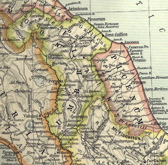
Map of Umbria et Picenum during the Roman period.
Extracted and adapted from The Historical Atlas by William R. Shepherd, 1911.
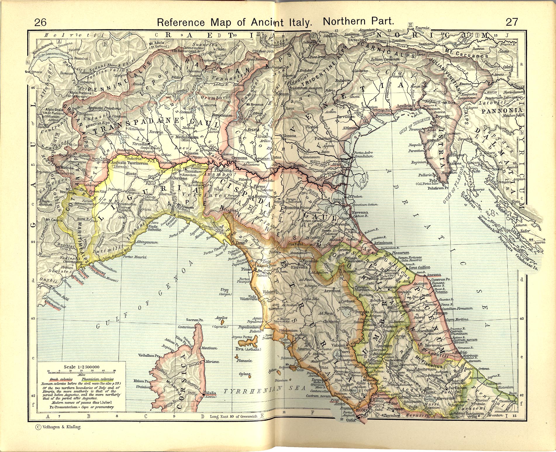
Original image is at http://www.lib.utexas.edu/maps/historical/shepherd_1911/shepherd-c-026-027.jpg
[edit] Licensing
|
|
This media file is in the public domain in the United States. This applies to U.S. works where the copyright has expired, often because its first publication occurred prior to January 1, 1923. See this page for further explanation.
|
|
|
Deutsch | English | Español | Français | Gaeilge | Galego | Italiano | Nederlands | 中文(简体) | +/- |
||
|
|
This image might not be in the public domain outside of the United States (this especially applies in Canada, China (not Hong Kong, Macao, or Taiwan Area), Germany, Mexico, and Switzerland). The creator and year of publication are essential information and must be provided. See Wikipedia:Public domain and Wikipedia:Copyrights for more details. |
File history
Click on a date/time to view the file as it appeared at that time.
| Date/Time | Dimensions | User | Comment | |
|---|---|---|---|---|
| current | 07:54, 1 July 2007 | 545×538 (108 KB) | Accurimbono | (== Summary == Map of Umbria et Picenum during the Roman period. Extracted and adapted from ''The Historical Atlas'' by William R. Shepherd, 1911. Original image is at http://www.lib.utexas.edu/maps/historical/shepherd_1911/sheph) |
File links
The following pages on the English Wikipedia link to this file (pages on other projects are not listed):

