Image:Uganda counties.png
From Wikipedia, the free encyclopedia
Size of this preview: 800 × 513 pixels
Full resolution (1,601 × 1,027 pixels, file size: 42 KB, MIME type: image/png)
| | This is a file from the Wikimedia Commons. The description on its description page there is shown below.
|
 |
This map has been uploaded by Electionworld from en.wikipedia.org to enable the |
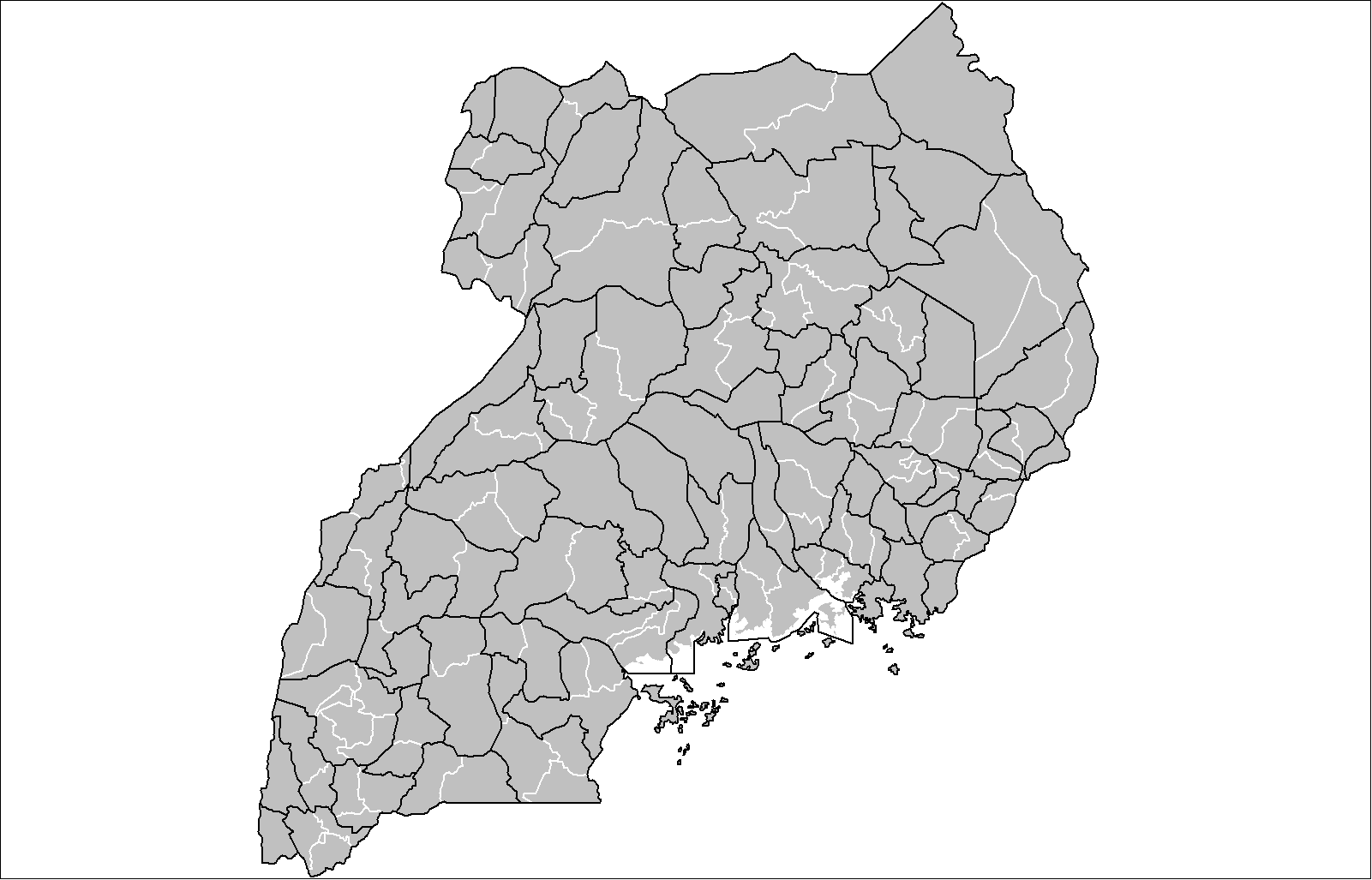
Map of the counties of Uganda. Created by Rarelibra 16:20, 31 March 2006 (UTC) for public domain use. Created using MapInfo Professional v7.5 and various mapping resources.
[edit] Licensing
| This image has been released into the public domain by its author, Rarelibra. This applies worldwide. In some countries this may not be legally possible; if so: العربية | Български | Deutsch | Ελληνικά | English | Español | Français | Italiano | 日本語 | 한국어 | Polski | Русский | Српски / Srpski | Svenska | தமிழ் | Українська | 中文(繁體) | 中文(简体) +/- |
File history
Click on a date/time to view the file as it appeared at that time.
| Date/Time | Dimensions | User | Comment | |
|---|---|---|---|---|
| current | 00:42, 22 February 2008 | 1,601×1,027 (42 KB) | Mahahahaneapneap | (pngcrushed) |
| 15:04, 20 February 2008 | 1,601×1,027 (52 KB) | Rarelibra | (updated map) | |
| 22:46, 11 December 2006 | 1,025×624 (23 KB) | Electionworld | ({{ew|en|Rarelibra}} Map of the counties of Uganda. Created by Rarelibra 16:20, 31 March 2006 (UTC) for public domain use. Created using MapInfo Professional v7.5 and various mapping resources. == Licensing == {{PD-user|Rarelibra}} ) | |
| 11:48, 11 October 2006 | 800×487 (105 KB) | Ninane | ({{Information| |Description= |Source=[http://en.wikipedia.org/wiki/Image:Uganda_counties.png 1] |Date= |Author=[http://en.wikipedia.org/wiki/Image:Uganda_counties.png 1] |Permission=[http://en.wikipedia.org/wiki/Image:Uganda_counties.png 1] |other_version) |
File links
The following pages on the English Wikipedia link to this file (pages on other projects are not listed):

