Image:TruroFalmouthAerial.jpg
From Wikipedia, the free encyclopedia
Size of this preview: 450 × 600 pixels
Full resolution (1,500 × 2,000 pixels, file size: 1.81 MB, MIME type: image/jpeg)
| | This is a file from the Wikimedia Commons. The description on its description page there is shown below.
|
| Description |
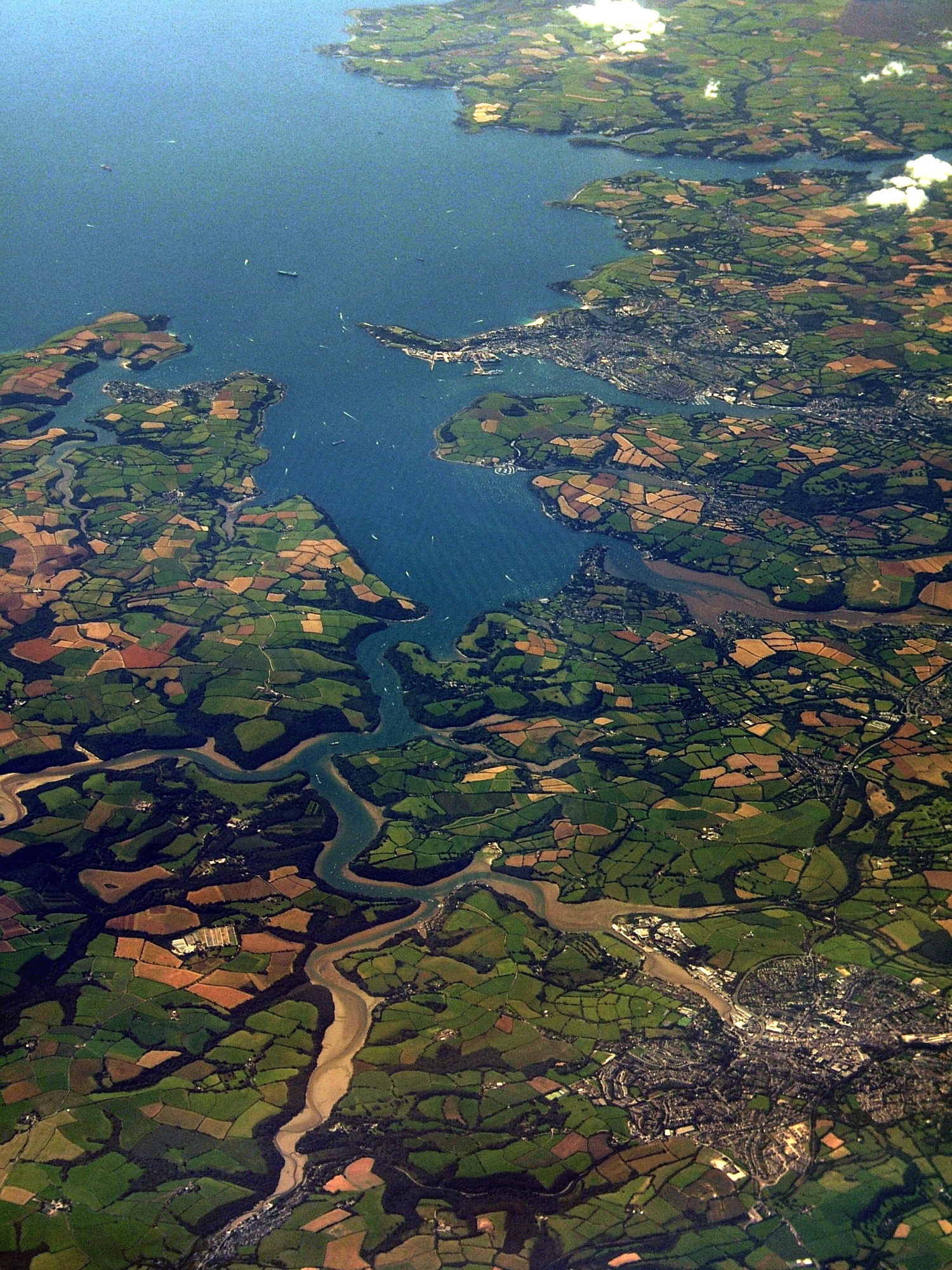
An aerial photo of Carrick Roads. Falmouth is at the mouth of the estuary, and Truro is in the bottom-right of the image. |
|---|---|
| Source | |
| Date |
August 25, 2007 at 11:40 |
| Author |
Jessica from Hove, United Kingdom |
| Permission (Reusing this image) |
see below |
[edit] Licensing
| This file is licensed under Creative Commons Attribution 2.0 License |
 |
This image, which was originally posted to Flickr, was reviewed on 13:23, 4 November 2007 (UTC) by the administrator or trusted user Boricuaeddie, who confirmed that it was available on Flickr under the above license on that date. |
File history
Click on a date/time to view the file as it appeared at that time.
| Date/Time | Dimensions | User | Comment | |
|---|---|---|---|---|
| current | 23:39, 2 November 2007 | 1,500×2,000 (1.81 MB) | Joowwww | ({{Information |Description= An aerial photo of Carrick Roads. Falmouth is at the mouth of the estuary, and Truro is in the bottom-right of the image. [http://loc.alize.us/#/flickr:1250339847 See map.] [http://www.flickr.com/groups/geotagging/discuss/7215) |
File links
The following pages on the English Wikipedia link to this file (pages on other projects are not listed):

