Image:Trentino-South Tyrol Provinces.png
From Wikipedia, the free encyclopedia
Size of this preview: 776 × 600 pixels
Full resolution (1,056 × 816 pixels, file size: 46 KB, MIME type: image/png)
| | This is a file from the Wikimedia Commons. The description on its description page there is shown below.
|
[edit] Summary
| Description | |
|---|---|
| Source |
Own work by uploader |
| Date |
16:46, 5 October 2006 (UTC) |
| Author | |
| Permission (Reusing this image) |
for public domain use with attribution required |
[edit] Licensing
| This image has been released into the public domain by its author, Rarelibra. This applies worldwide. In some countries this may not be legally possible; if so: العربية | Български | Deutsch | Ελληνικά | English | Español | Français | Italiano | 日本語 | 한국어 | Polski | Русский | Српски / Srpski | Svenska | தமிழ் | Українська | 中文(繁體) | 中文(简体) +/- |
File history
Click on a date/time to view the file as it appeared at that time.
| Date/Time | Dimensions | User | Comment | |
|---|---|---|---|---|
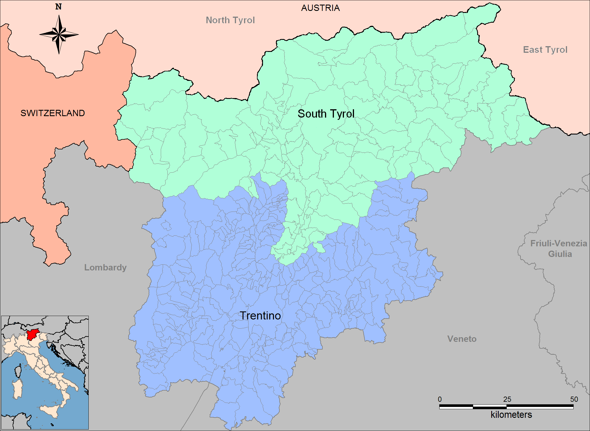
| current | 14:06, 11 June 2008 | 1,056×816 (46 KB) | Gryffindor | ({{Information |Description={{en|Map of the autonomous provinces of Trentino-South Tyrol region in north Italy.}} |Source=Created by Rarelibra |Date=16:46, 5 October 2006 |Author=Rarelibra |Permission=) |
| 16:01, 20 March 2007 | 1,056×816 (30 KB) | Rarelibra | (Updated map.) | |
| 07:14, 6 October 2006 | 1,056×816 (25 KB) | Gryffindor | (Reverted to earlier revision) | |
| 19:33, 5 October 2006 | 1,056×816 (25 KB) | Bastique | (Reverted to earlier revision) | |
| 11:10, 1 May 2006 | 1,056×816 (25 KB) | Mortadelo2005 | (Author: Rarelibra Link: http://en.wikipedia.org/wiki/Image:Trentino-South_Tyrol_Provinces.png {{PD-user|Rarelibra}} Category:Maps of Italy) |
File links
The following pages on the English Wikipedia link to this file (pages on other projects are not listed):

