Image:Tirol 1918.png
From Wikipedia, the free encyclopedia
Size of this preview: 796 × 600 pixels
Full resolution (1,502 × 1,132 pixels, file size: 193 KB, MIME type: image/png)
| | This is a file from the Wikimedia Commons. The description on its description page there is shown below.
|
[edit] Beschreibung
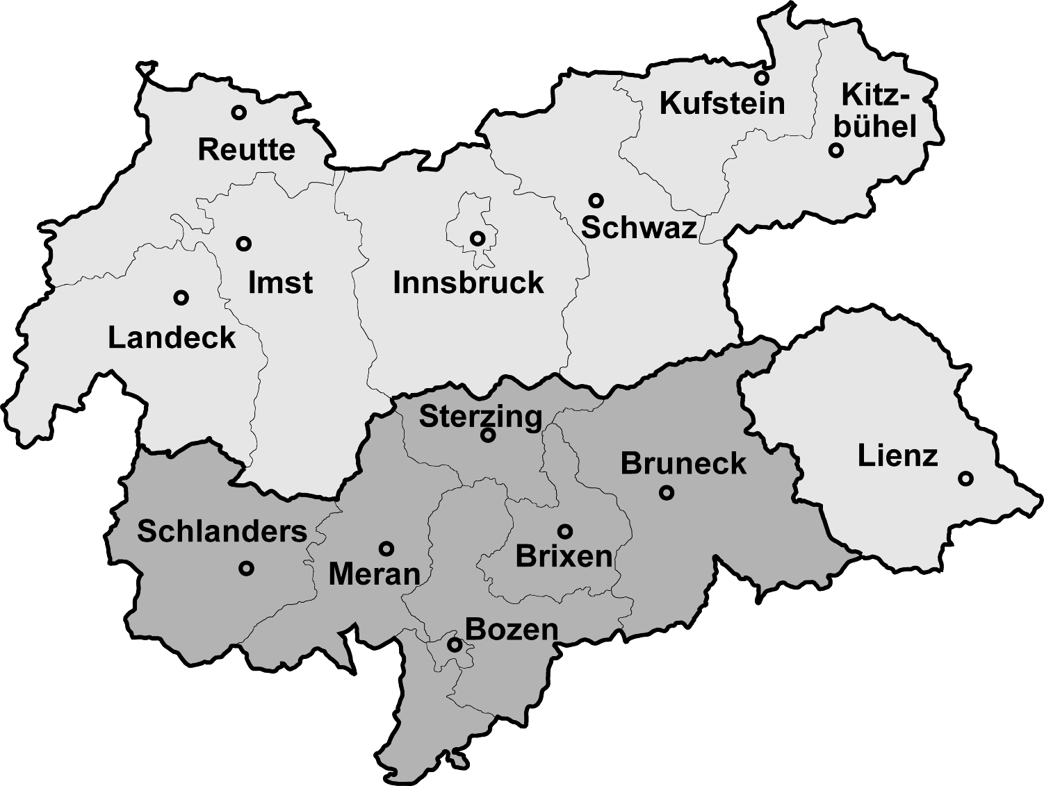
| Description |
Map of North, South and Eastern Tirol with district borders Deutsch: Isolierte Lage des Bezirks Lienz (Osttirol) nach der Abtrennung Südtirols (dunkelgrau) 1918
English: Tyrol after 1918, the southern part is now a part of Italy
Español: Mapa de Tirol con la división de 1918 que dejó el sur para Italia y el norte para Austria
|
|---|---|
| Source |
Map drawn by (Geiserich77) |
| Date |
04.02.2006 |
| Author | |
| Permission (Reusing this image) |
see below |

File history
Click on a date/time to view the file as it appeared at that time.
| Date/Time | Dimensions | User | Comment | |
|---|---|---|---|---|
| current | 12:10, 4 February 2006 | 1,502×1,132 (193 KB) | Geiserich77 | (== Beschreibung == {{Information| |Description = Map of North, South and Eastern Tirol with district borders |Source = Map drawn by (Geiserich77) |Date = 29.01.2006 |Author = Geiserich77 |Permission = GNU FDL |oth) |
| 13:49, 29 January 2006 | 1,598×1,248 (197 KB) | Geiserich77 | ({{Information| |Description = Map of North, South and Eastern Tirol with district borders |Source = Map drawn by (Geiserich77) |Date = 29.01.2006 |Author = Geiserich77 |Permission = GNU FDL |other_versions = - }} ) |
File links
The following pages on the English Wikipedia link to this file (pages on other projects are not listed):

