Image:TikopiaMap.png
From Wikipedia, the free encyclopedia
No higher resolution available.
TikopiaMap.png (548 × 495 pixels, file size: 7 KB, MIME type: image/png)
| | This is a file from the Wikimedia Commons. The description on its description page there is shown below.
|
[edit] Summary
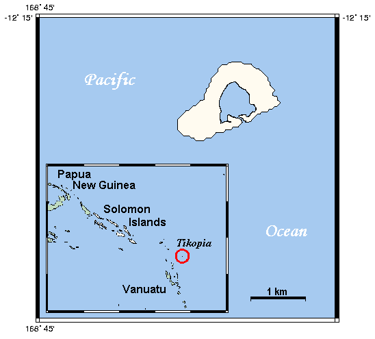
| Description |
Deutsch: Karte zur Lage von Tikopia in der Solomon Gruppe
English: Location map Tikopia in the Solomon Islands
|
|---|---|
| Source |
Uploaded from en.wikipedia. Original source description: "This map's source is here, with the uploader's modifications, and the GMT homepage says that the tools are released under the GNU General Public License." |
| Date |
Original date: 15:54, 15 April 2006 |
| Author |
en:User:Kelisi (Transferred by Triggerhappy) |
| Permission (Reusing this image) |
see below |
[edit] Licensing

File history
Click on a date/time to view the file as it appeared at that time.
| Date/Time | Dimensions | User | Comment | |
|---|---|---|---|---|
| current | 17:31, 2 August 2006 | 548×495 (7 KB) | Triggerhappy | ({{Information |Description= {{de|Karte zur Lage von Tikopia in der Solomon Gruppe}} {{en|Location map Tikopia in the Solomon Islands}} |Source=Uploaded from en.wikipedia. Original source description: "This map's source is [http://www.aquarius.geomar.de/om) |
File links
The following pages on the English Wikipedia link to this file (pages on other projects are not listed):

