Image:Tasmania southern coast 1916.jpg
From Wikipedia, the free encyclopedia
No higher resolution available.
Tasmania_southern_coast_1916.jpg (369 × 304 pixels, file size: 69 KB, MIME type: image/jpeg)
| | This is a file from the Wikimedia Commons. The description on its description page there is shown below.
|
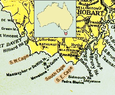
| Description |
Southern Coast of Tasmania. |
|---|---|
| Source |
map "Commonwealth of Australia", published with the Official Year Book of the Commonwealth of Australia, Melbourne: McCarron, Bird and Co., 1916. |
| Date |
1916 |
| Author |
|
| Permission (Reusing this image) |
see below |
| Other versions |
|

File history
Click on a date/time to view the file as it appeared at that time.
| Date/Time | Dimensions | User | Comment | |
|---|---|---|---|---|
| current | 06:46, 17 April 2007 | 369×304 (69 KB) | Ibn Battuta | (okay, okay, okay: I'll leave (make) "Hobart" visible... :o) ...) |
| 06:30, 17 April 2007 | 369×304 (69 KB) | Ibn Battuta | (Let's try again: including locator map!?) | |
| 06:18, 17 April 2007 | 369×304 (69 KB) | Ibn Battuta | (included locator map of Tasmania) | |
| 06:46, 1 April 2007 | 369×304 (76 KB) | Ibn Battuta | ({{Information |Description=Southern Coast of Tasmania. <br/>From the map "Commonwealth of Australia", published with the Official Year Book of the Commonwealth of Australia, Melbourne: McCarron, Bird and Co., 1916. |Source=map "Commonwealth of Australia",) |
File links
Metadata
This file contains additional information, probably added from the digital camera or scanner used to create or digitize it. If the file has been modified from its original state, some details may not fully reflect the modified file.
| Orientation | Normal |
|---|---|
| Horizontal resolution | 250 dpi |
| Vertical resolution | 250 dpi |
| Software used | Adobe Photoshop 7.0 |
| File change date and time | 13:34, 18 November 2004 |
| Author | 1996-98 AccuSoft Inc., All rights reserved |
| Color space | 65535 |

