Image:Sucia Island Map.png
From Wikipedia, the free encyclopedia
Size of this preview: 794 × 600 pixels
Full resolution (1,168 × 882 pixels, file size: 2.45 MB, MIME type: image/png)
| | This is a file from the Wikimedia Commons. The description on its description page there is shown below.
|
[edit] Summary
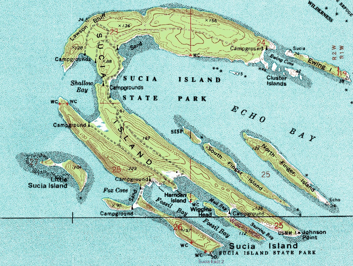
| Description |
USGS topographical map of Sucia Island. |
|---|---|
| Source |
Screenshot from NASA's World Wind software, using the USGS Topo layer. |
| Date | |
| Author |
Screen capture made by Hotshot977, map by USGS. |
| Permission (Reusing this image) |
see below |
[edit] Licensing
| This image is in the public domain because it contains materials that originally came from the United States Geological Survey, an agency of the United States Department of Interior. For more information, see the official USGS copyright policy |
|
File history
Click on a date/time to view the file as it appeared at that time.
| Date/Time | Dimensions | User | Comment | |
|---|---|---|---|---|
| current | 07:29, 6 January 2008 | 1,168×882 (2.45 MB) | Hotshot977 | ({{Information |Description=USGS topographical map of Sucia Island. |Source=Screenshot from NASA's World Wind software, using the USGS Topo layer. |Date= |Author=Screen capture made by Hotshot977, map by USGS. |Permission= |other_versio) |
File links
The following pages on the English Wikipedia link to this file (pages on other projects are not listed):

