Image:SouthAmerica1899.JPG
From Wikipedia, the free encyclopedia
Size of this preview: 436 × 599 pixels
Full resolution (1,222 × 1,678 pixels, file size: 489 KB, MIME type: image/jpeg)
| | This is a file from the Wikimedia Commons. The description on its description page there is shown below.
|
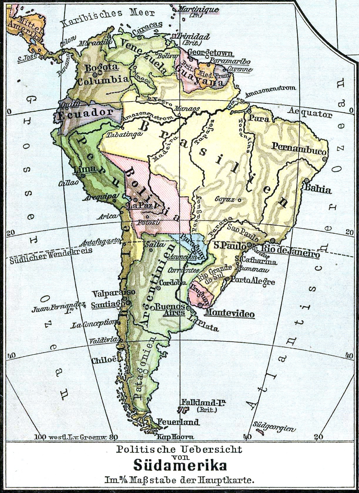
Description: Political Map of South America.
Source: D. H. Lange "Volksschul-Atlas", Dreihundertste Auflage, George Westermann in Braunschweig, 1899.
Author: Scan made by Olahus
License: Public Domain, because copyright expired
[edit] Licensing
| This image (or other media file) is in the public domain because its copyright has expired. This applies to the United States, Canada, the European Union and those countries with a copyright term of life of the author plus 70 years.
العربية | Asturianu | Български | Català | Česky | Dansk | Deutsch | English | Ελληνικά | Esperanto | Español | Euskara | فارسی | Français | Gaeilge | Galego | עברית | हिन्दी | Bahasa Indonesia | Italiano | 日本語 | 한국어 | Kurdî / كوردی | Lietuvių | Magyar | Nederlands | Norsk (nynorsk) | Bahasa Melayu | Polski | Português | Română | Русский | Slovenčina | Slovenščina | Shqip | Suomi | Sámegiella | Türkçe | 中文(简体) | 中文(繁體) | 粵語 | +/- |
File history
Click on a date/time to view the file as it appeared at that time.
| Date/Time | Dimensions | User | Comment | |
|---|---|---|---|---|
| current | 22:47, 4 February 2007 | 1,222×1,678 (489 KB) | Olahus | ('''Description:''' Political Map of South America. '''Source:''' D. H. Lange "Volksschul-Atlas", Dreihundertste Auflage, George Westermann in Braunschweig, 1899. '''Author:''' Scan made by Olahus '''License:''' Public Domain, because c) |

