Image:Sierra Leone Provinces.png
From Wikipedia, the free encyclopedia
No higher resolution available.
Sierra_Leone_Provinces.png (443 × 442 pixels, file size: 9 KB, MIME type: image/png)
| | This is a file from the Wikimedia Commons. The description on its description page there is shown below.
|
[edit] Summary
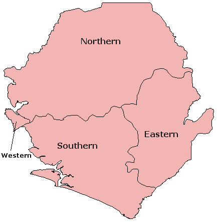
- Description: Map of Sierra Leone divided in ti's provinces.
- Source: English Wikipedia: http://en.wikipedia.org/wiki/Image:Sierra_Leone_Provinces.png
- Photographer/Painter: Made by

[edit] Licensing
File history
Click on a date/time to view the file as it appeared at that time.
| Date/Time | Dimensions | User | Comment | |
|---|---|---|---|---|
| current | 12:49, 2 January 2006 | 443×442 (9 KB) | Tostadora | (*Description: Map of Sierra Leone divided in ti's provinces. *Source: English Wikipedia: http://en.wikipedia.org/wiki/Image:Sierra_Leone_Provinces.png *Photographer/Painter: Made by en:User:Acntx Category:Sierra_Leone {{GFDL}}) |
File links
The following pages on the English Wikipedia link to this file (pages on other projects are not listed):

