Image:Showa kinen park 1989.jpg
From Wikipedia, the free encyclopedia
Size of this preview: 553 × 599 pixels
Full resolution (811 × 879 pixels, file size: 255 KB, MIME type: image/jpeg)
| | This is a file from the Wikimedia Commons. The description on its description page there is shown below.
|
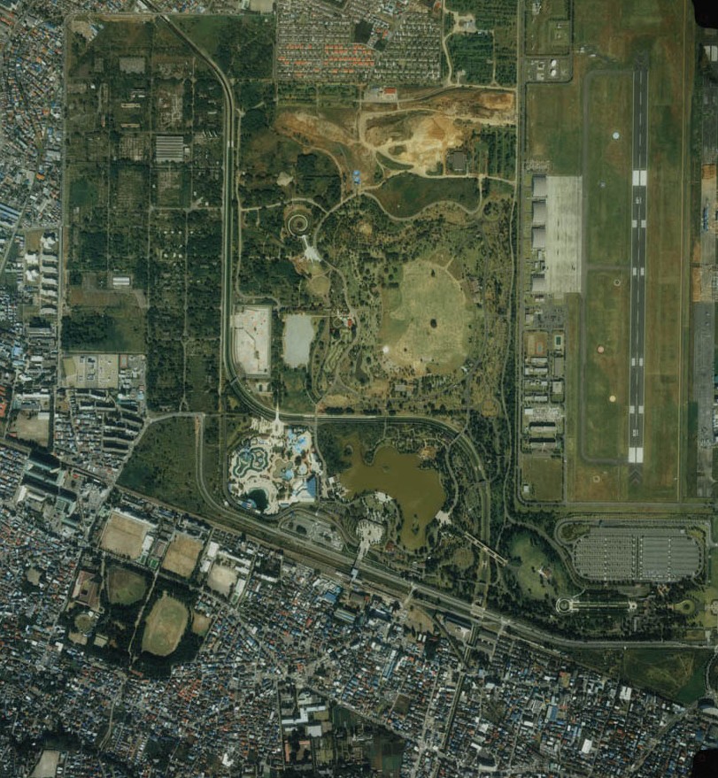
航空写真に見る立昭和記念公園付近。1989年の撮影。旧立川飛行場。既に全面返還され、誰でも憩える公園として整備されている。写真右は、陸上自衛隊立川駐屯地になる。
photo of showa kinen park,1989 Tachikawa city,Tokyo,Japan.
 |
The copyright holder of this file allows anyone to use it for any purpose, so long as it is marked as "National Land Image Information (Color Aerial Photograph), Ministry of Land, Infrastructure and Transport."
このファイルの著作権保有者は誰に対しても、以下の条件を守る限り自由に利用することを許可しています。条件:「国土画像情報(カラー空中写真)国土交通省」が出典であると明記する。 |
|
This image is copyrighted by the Ministry of Land, Infrastructure and Transport of Japan. For terms of use, see MLIT Web Mapping System (in Japanese) and Message from MLIT (in Japanese). この画像は国土交通省によって著作権が保持されたままになっています。利用条件については国土交通省ウェブマッピングシステムをご覧になるか、国土交通省からのメッセージをご覧ください。 Copyright © National Land Image Information (Color Aerial Photograph), Ministry of Land, Infrastructure and Transport |
File history
Click on a date/time to view the file as it appeared at that time.
| Date/Time | Dimensions | User | Comment | |
|---|---|---|---|---|
| current | 11:13, 12 February 2006 | 811×879 (255 KB) | Kentin |
File links
The following pages on the English Wikipedia link to this file (pages on other projects are not listed):

