Image:Sea of Marmara map.png
From Wikipedia, the free encyclopedia
Size of this preview: 800 × 448 pixels
Full resolution (1,336 × 748 pixels, file size: 334 KB, MIME type: image/png)
| | This is a file from the Wikimedia Commons. The description on its description page there is shown below.
|
[edit] Summary
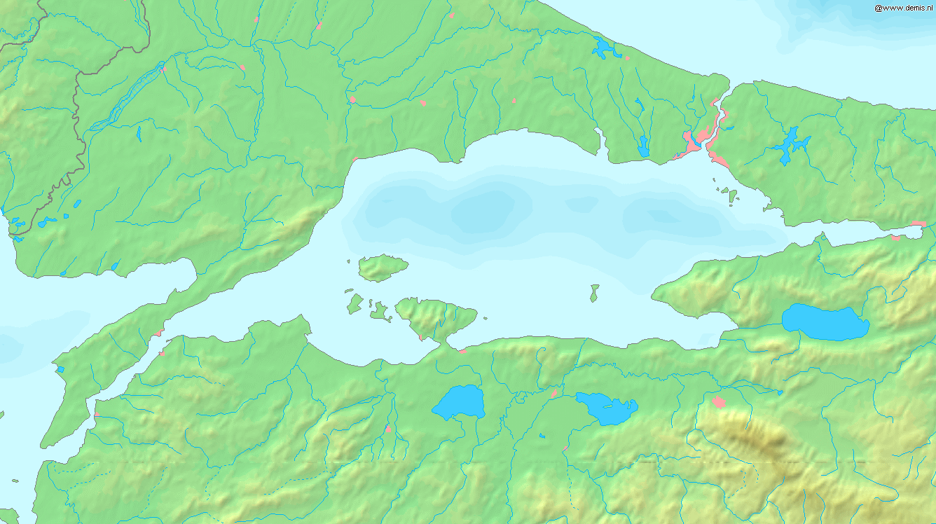
Español: Mapa del Mar de Marmara
Map of the Bounding box West 26°, South 39.8°, East 30°, North 41.5°.
| This image is in the public domain because came from the site http://www.demis.nl/home/pages/Gallery/examples.htm and was released by the copyright holder. Permission is granted to copy, distribute and/or modify this map since it is based on free of copyright images from: www.demis.nl. See also approval email on de.wp and its clarification. |
File history
Click on a date/time to view the file as it appeared at that time.
| Date/Time | Dimensions | User | Comment | |
|---|---|---|---|---|
| current | 17:37, 6 September 2005 | 1,336×748 (334 KB) | Mats Halldin | (Map of the Sea of Marmara Bounding box West 26°, South 39.8°, East 30°, North 41.5°. {{demis-pd}} Category:Maps of Turkey) |
File links
The following pages on the English Wikipedia link to this file (pages on other projects are not listed):

