Image:Sea Gate aerial view.jpg
From Wikipedia, the free encyclopedia
Size of this preview: 800 × 534 pixels
Full resolution (1,500 × 1,002 pixels, file size: 657 KB, MIME type: image/jpeg)
| | This is a file from the Wikimedia Commons. The description on its description page there is shown below.
|
| Description |
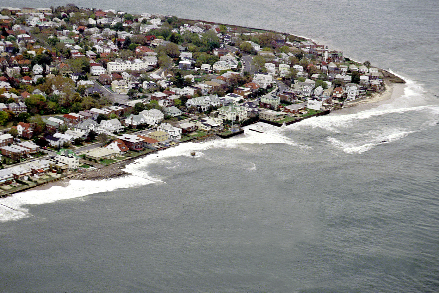
English: Aerial view of the Sea Gate community located on the westernmost extremity of Coney Island, Brooklyn, New York City.
|
|||
|---|---|---|---|---|
| Source |
U.S. Army Corps of Engineers Digital Visual Library |
|||
| Date |
1992-12 |
|||
| Author |
U.S. Army Corps of Engineers, photographer not specified or unknown |
|||
| Permission (Reusing this image) |
|
| Camera location | This and other geocoded Commons images: | (Info) |
|---|
File history
Click on a date/time to view the file as it appeared at that time.
| Date/Time | Dimensions | User | Comment | |
|---|---|---|---|---|
| current | 05:01, 9 April 2007 | 1,500×1,002 (657 KB) | DanMS | ({{Information | Description = {{en|Aerial view of the Sea Gate community located on the westernmost extremity of Coney Island, Brooklyn, New York City.}} | Source = U.S. Army Corps of Engineers Digital Visual Library<br />[http://images.usace.a) |
File links
The following pages on the English Wikipedia link to this file (pages on other projects are not listed):

