Image:Saudi Arabia map.png
From Wikipedia, the free encyclopedia
Size of this preview: 612 × 600 pixels
Full resolution (1,500 × 1,470 pixels, file size: 725 KB, MIME type: image/png)
| | This is a file from the Wikimedia Commons. The description on its description page there is shown below.
|
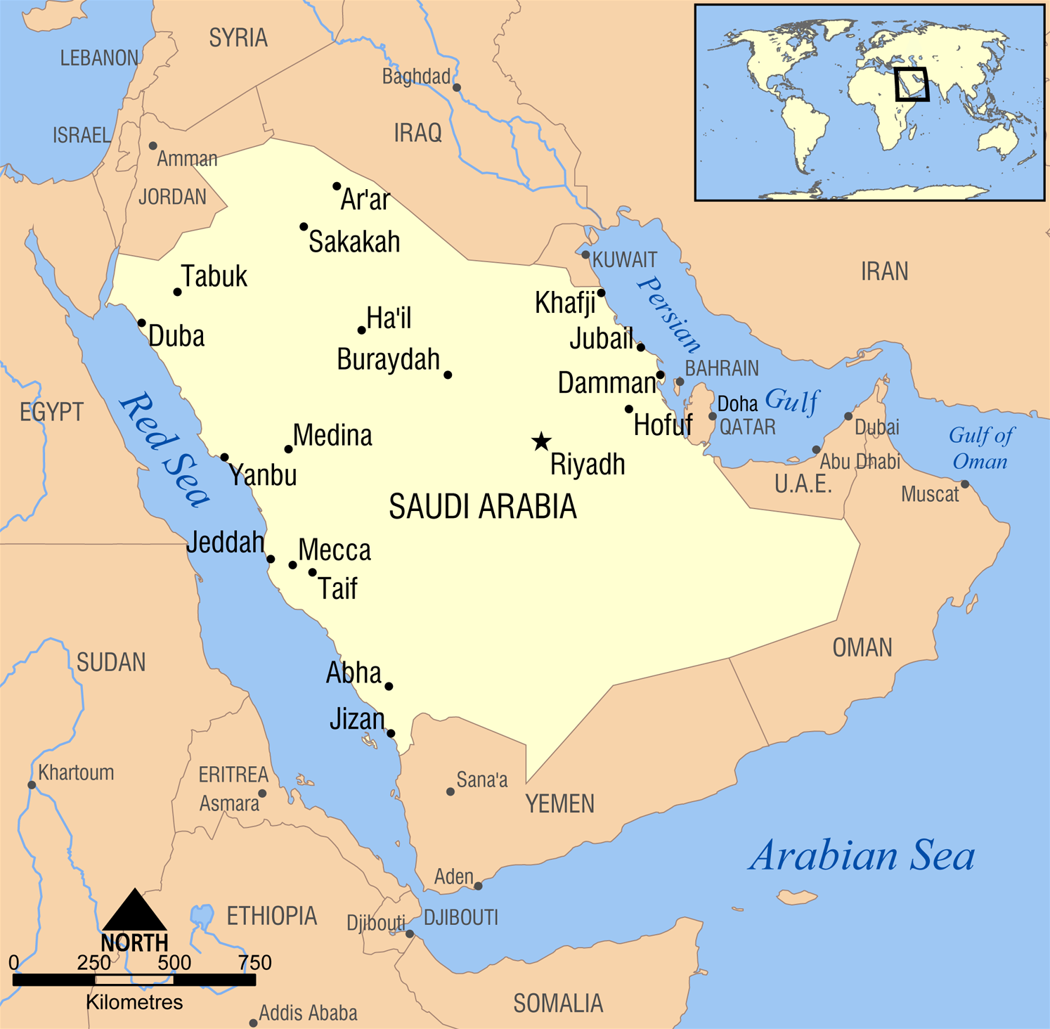
A simple map showing the major cities in Saudi Arabia.
Created by NormanEinstein, February 10, 2006.

File history
Click on a date/time to view the file as it appeared at that time.
| Date/Time | Dimensions | User | Comment | |
|---|---|---|---|---|
| current | 15:47, 10 March 2006 | 1,500×1,470 (725 KB) | NormanEinstein | (enlarged text) |
| 21:36, 8 March 2006 | 1,200×1,176 (528 KB) | NormanEinstein | (Fixed typo. Added a city or two.) | |
| 21:28, 10 February 2006 | 1,200×1,176 (522 KB) | NormanEinstein | (A simple map showing the major cities in Saudi Arabia. Created by NormanEinstein, February 10, 2006. {{GFDL-self}} Category:Maps of Saudi Arabia) |
File links
The following pages on the English Wikipedia link to this file (pages on other projects are not listed):

