Image:Satellite image of Noordoostpolder, Netherlands (5.78E 52.71N).png
From Wikipedia, the free encyclopedia
Size of this preview: 800 × 548 pixels
Full resolution (1,024 × 702 pixels, file size: 1.39 MB, MIME type: image/png)
| | This is a file from the Wikimedia Commons. The description on its description page there is shown below.
|
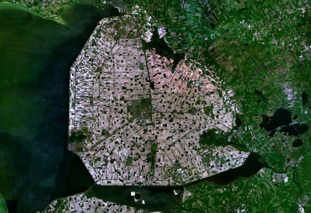
Satellite image of the Noordoostpolder, part of the Flevopolder.
Screenshot from NASA's World Wind.
| This image is in the public domain because it is a screenshot from NASA’s globe software World Wind using Blue Marble, Landsat or USGS layer, all of which are in public domain. |
|
File history
Click on a date/time to view the file as it appeared at that time.
| Date/Time | Dimensions | User | Comment | |
|---|---|---|---|---|
| current | 14:30, 4 May 2005 | 1,024×702 (1.39 MB) | Galwaygirl | (Satellite image of the Noordoostpolder, part of the Flevopolder. Screenshot from NASA's World Wind. {{PD}}) |
File links
The following pages on the English Wikipedia link to this file (pages on other projects are not listed):

