Image:Satellite image of Azerbaijan in March 2003.jpg
From Wikipedia, the free encyclopedia
Size of this preview: 754 × 600 pixels
Full resolution (2,002 × 1,593 pixels, file size: 526 KB, MIME type: image/jpeg)
| | This is a file from the Wikimedia Commons. The description on its description page there is shown below.
|
| Description |
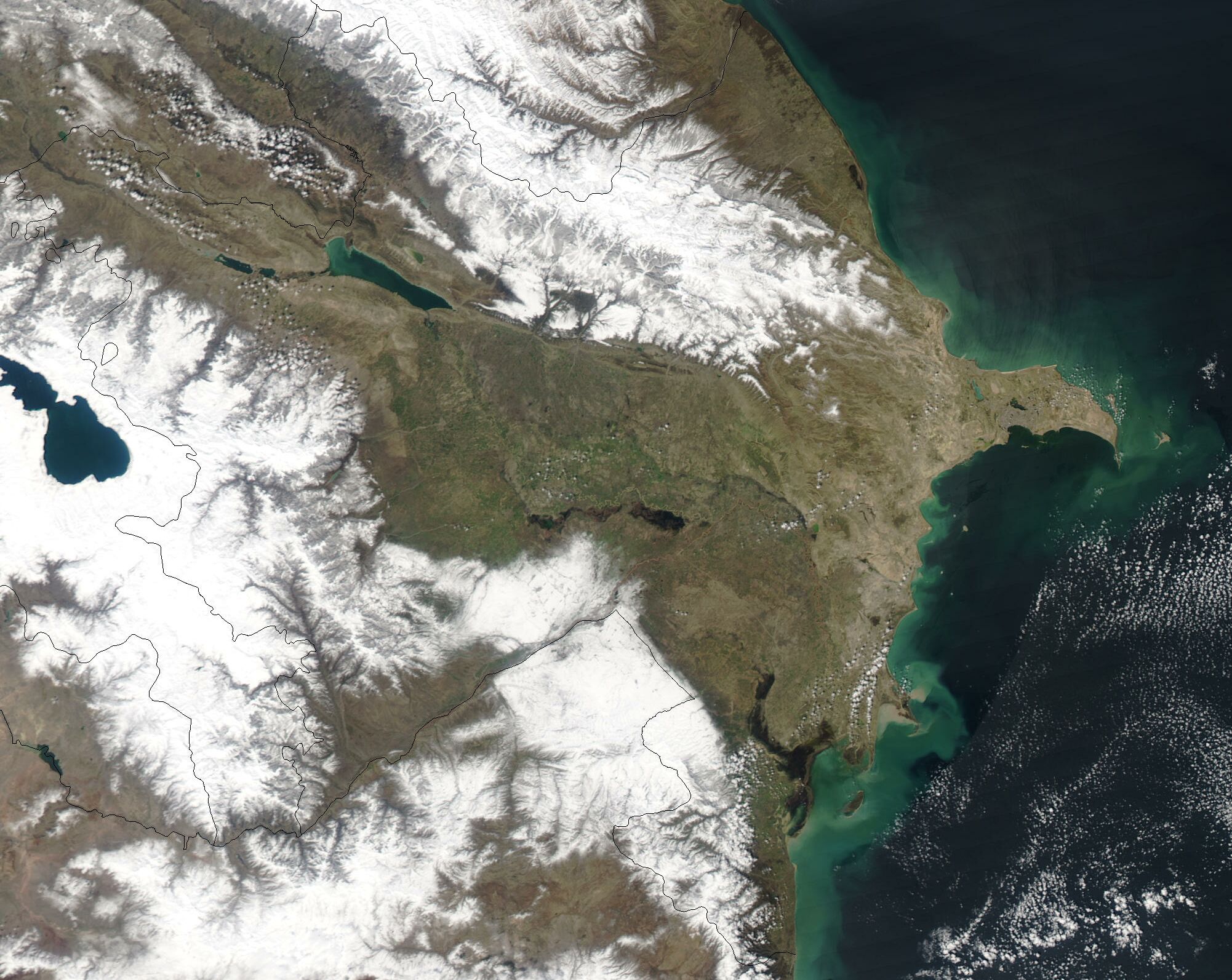
A cropped satellite image showing Azerbaijan in March 2003. |
|---|---|
| Source |
Cropped from original: http://visibleearth.nasa.gov/view_rec.php?id=5218 |
| Date |
2003-03-31 |
| Author |
Jeff Schmaltz, MODIS Rapid Response Team, NASA/GSFC |
| Permission (Reusing this image) |
see below |
[edit] Licensing
|
|
This file is in the public domain because it was created by NASA. NASA copyright policy states that "NASA material is not protected by copyright unless noted". (NASA copyright policy page or JPL Image Use Policy).
Deutsch | English | Español | Français | Nederlands | Português | Русский | 中文(简体) | 中文(繁體) | +/- |
|
 |
Warnings:
|
File history
Click on a date/time to view the file as it appeared at that time.
| Date/Time | Dimensions | User | Comment | |
|---|---|---|---|---|
| current | 14:56, 18 December 2004 | 2,002×1,593 (526 KB) | Hautala | ({{PD-USGov-NASA}} A cropped satellite image showing Azerbaijan in March 2003. Original image taken from NASA's Visible Earth http://visibleearth.nasa.gov/cgi-bin/viewrecord?25290) |
File links
The following pages on the English Wikipedia link to this file (pages on other projects are not listed):

