Image:Saskatoon Neighbourhoods.png
From Wikipedia, the free encyclopedia
Size of this preview: 797 × 600 pixels
Full resolution (1,078 × 811 pixels, file size: 185 KB, MIME type: image/png)
| | This is a file from the Wikimedia Commons. The description on its description page there is shown below.
|
[edit] Summary
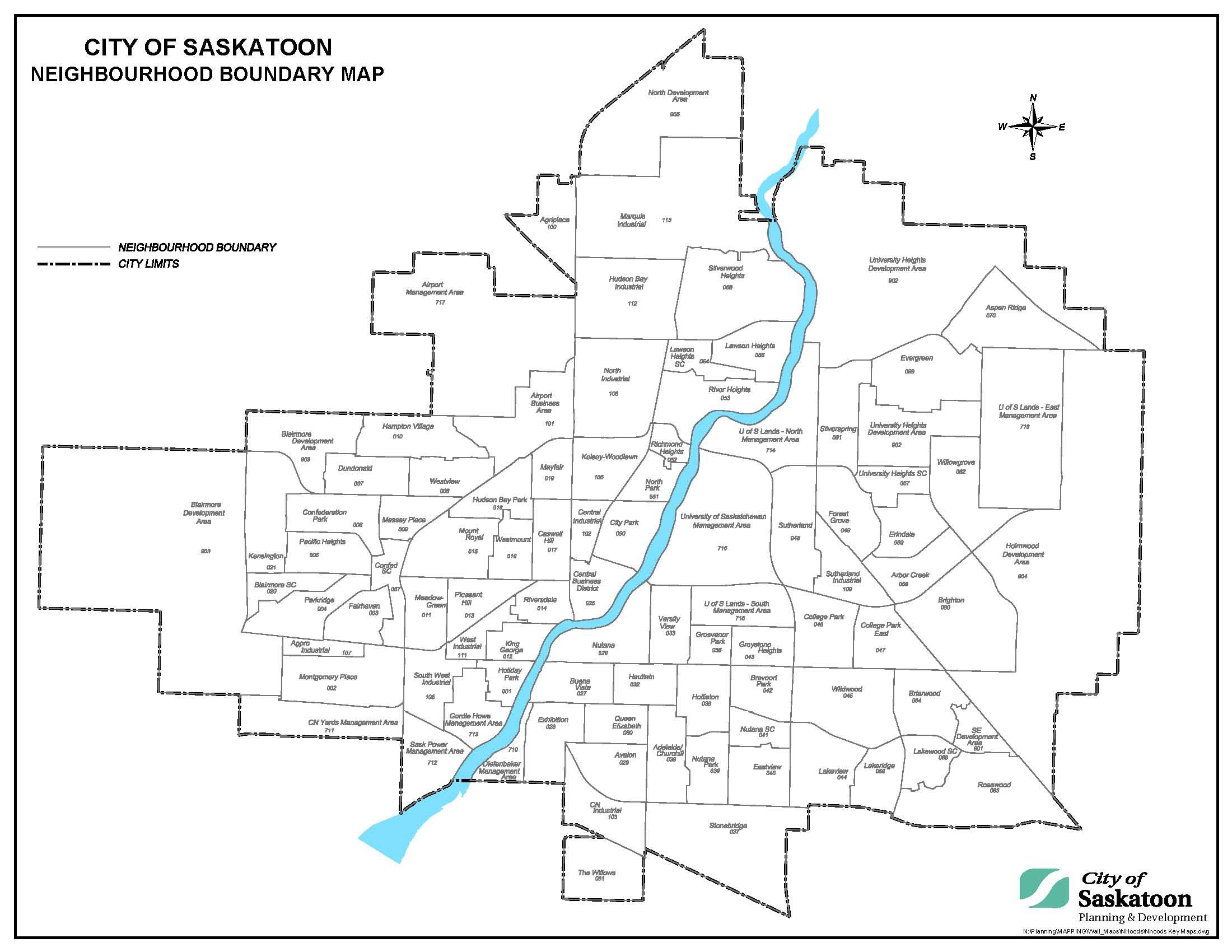
| Description |
A map showing the boundaries of all neighbourhoods in Saskatoon, Saskatchewan, Canada |
|---|---|
| Source |
http://www.saskatoon.ca/org/city_planning/resources/neighbourhood_demographics/ALLProfiles.pdf |
| Date |
2007 |
| Author | |
| Permission (Reusing this image) |
|
[edit] Licensing

File history
Click on a date/time to view the file as it appeared at that time.
| Date/Time | Dimensions | User | Comment | |
|---|---|---|---|---|
| current | 05:44, 3 May 2008 | 1,078×811 (185 KB) | Drm310 | ({{Information |Description=A map showing the boundaries of all neighbourhoods in Saskatoon, Saskatchewan, Canada |Source=http://www.saskatoon.ca/org/city_planning/resources/neighbourhood_demographics/ALLProfiles.pdf |Date=2007 |Author=[http://www.saskatoo) |
File links
The following pages on the English Wikipedia link to this file (pages on other projects are not listed):

