Image:Sala y gomez.png
From Wikipedia, the free encyclopedia

No higher resolution available.
Sala_y_gomez.png (370 × 372 pixels, file size: 210 KB, MIME type: image/png)
| | This is a file from the Wikimedia Commons. The description on its description page there is shown below.
|
[edit] Summary
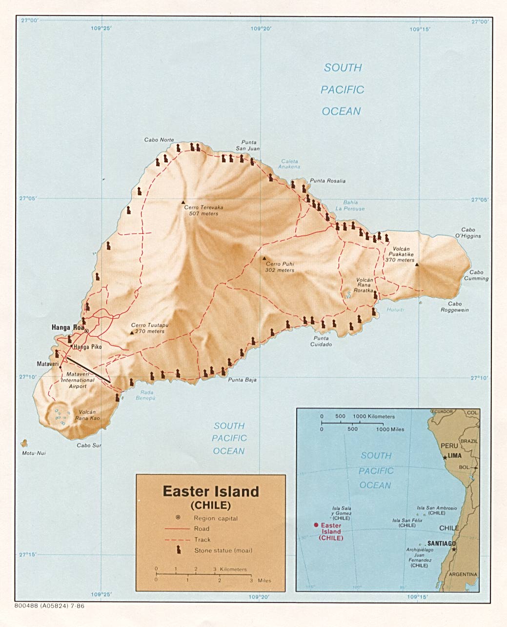
| Description |
Location map of |
|---|---|
| Source |
Cropped from http://www.lib.utexas.edu/maps/islands_oceans_poles/easterisland.jpg (see http://www.lib.utexas.edu/maps/australia.html for description) |
| Date |
1986 |
| Author |
CIA |
| Permission (Reusing this image) |
Public domain |
| Other versions | Full map at Image:Map of Easter Island.jpg |
[edit] Licensing
| This image is a work of a Central Intelligence Agency employee, taken or made during the course of the person's official duties. As a Work of the United States Government, all images created or made by the CIA are in the public domain, with the exception of classified information. |  |
File history
Click on a date/time to view the file as it appeared at that time.
| Date/Time | Dimensions | User | Comment | |
|---|---|---|---|---|
| current | 21:16, 19 June 2006 | 370×372 (210 KB) | Angr | ({{Information |Description=Location map of Sala y Gómez |Source=Cropped from http://www.lib.utexas.edu/maps/islands_oceans_poles/easterisland.jpg |Date=19 June 2006 |Author=CIA |Permission=Public domain }}) |
File links
The following pages on the English Wikipedia link to this file (pages on other projects are not listed):

