Image:Saint Lucia geography map en.png
From Wikipedia, the free encyclopedia
Size of this preview: 424 × 599 pixels
Full resolution (733 × 1,036 pixels, file size: 649 KB, MIME type: image/png)
| | This is a file from the Wikimedia Commons. The description on its description page there is shown below.
|
[edit] Summary
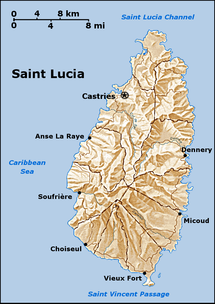
a map of Saint Lucia that i created, based on a public domain map from the PCL, found here. I created this using the GIMP. Feel free to contact me if you want the source XCF.
see also the labelled version.
[edit] Licensing

File history
Click on a date/time to view the file as it appeared at that time.
| Date/Time | Dimensions | User | Comment | |
|---|---|---|---|---|
| current | 07:02, 24 September 2005 | 733×1,036 (649 KB) | Doviende | (a map of Saint Lucia that i created, based on a public domain map from the PCL, found here: [http://www.lib.utexas.edu/maps/americas/saint_lucia.gif]. I created this using the GIMP. Feel free to contact me if you want the source XCF see also the [[Sain) |
File links
The following pages on the English Wikipedia link to this file (pages on other projects are not listed):

