Image:Saarland map.png
From Wikipedia, the free encyclopedia
No higher resolution available.
Saarland_map.png (315 × 250 pixels, file size: 7 KB, MIME type: image/png)
| | This is a file from the Wikimedia Commons. The description on its description page there is shown below.
|

[edit] Original log
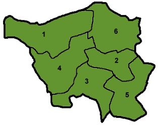
(del) (cur) 11:37, 26 February 2003 . . Cordyph (Talk | contribs) . . 315×250 (7,514 bytes) (Map of Saarland)
File history
Click on a date/time to view the file as it appeared at that time.
| Date/Time | Dimensions | User | Comment | |
|---|---|---|---|---|
| current | 06:03, 25 July 2005 | 315×250 (7 KB) | Giro720 | (Map of Saarland {{GDFL}}) |
File links
The following pages on the English Wikipedia link to this file (pages on other projects are not listed):

