Image:RPmap+Boracay.gif
From Wikipedia, the free encyclopedia
No higher resolution available.
RPmap+Boracay.gif (266 × 576 pixels, file size: 19 KB, MIME type: image/gif)
| | This is a file from the Wikimedia Commons. The description on its description page there is shown below.
|
[edit] Summary
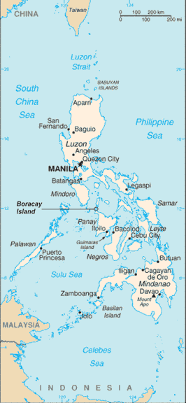
Philippine map with location of Boracay Island indicated
Philippine map sourced from CIA World Factbook (Public Domain)
Boracay Island indication added by myself
[edit] Licensing
| This image is in the public domain because it contains materials that originally came from the United States Central Intelligence Agency's World Factbook.
Deutsch | English | Español | Français | 日本語 | Nederlands | 한국어 | Português | தமிழ் | Magyar | +/- |
 |
[edit] Categories
File history
Click on a date/time to view the file as it appeared at that time.
| Date/Time | Dimensions | User | Comment | |
|---|---|---|---|---|
| current | 02:03, 15 July 2006 | 266×576 (19 KB) | Wtmitchell | (Philippine map with location of Boracay Island indicated Philippine map sourced from CIA World Factbook (Public Domain) Boracay Island indication added by myself) |
File links
The following pages on the English Wikipedia link to this file (pages on other projects are not listed):

