Image:River Wansbeck, Geograph.jpg
From Wikipedia, the free encyclopedia
No higher resolution available.
River_Wansbeck,_Geograph.jpg (640 × 480 pixels, file size: 97 KB, MIME type: image/jpeg)
| | This is a file from the Wikimedia Commons. The description on its description page there is shown below.
|
| Description |
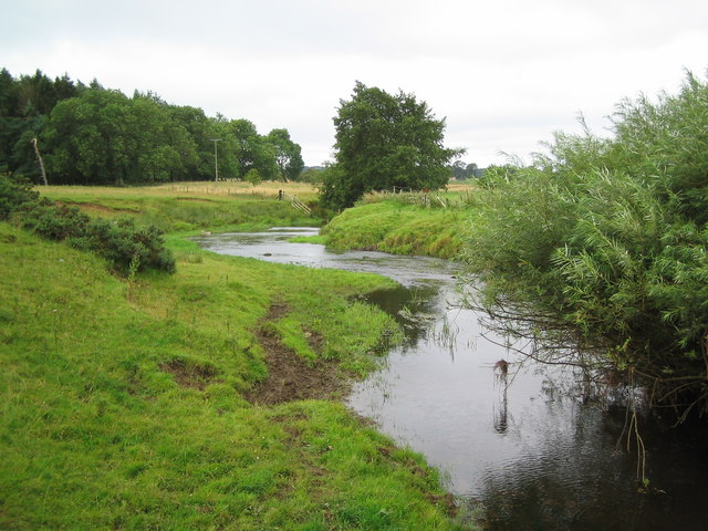
The w:River Wansbeck runs through the Borough of Castle Morpeth and the Wansbeck district in the county of Northumberland, England. |
|||
|---|---|---|---|---|
| Source | ||||
| Date | ||||
| Author |
"Black Dog" |
|||
| Permission (Reusing this image) |
|
File history
Click on a date/time to view the file as it appeared at that time.
| Date/Time | Dimensions | User | Comment | |
|---|---|---|---|---|
| current | 21:26, 24 August 2007 | 640×480 (97 KB) | GeeJo | ({{Information |Description= The w:River Wansbeck runs through the Borough of Castle Morpeth and the Wansbeck district in the county of Northumberland, England. |Source=[http://www.geograph.org.uk/photo/532378 Geograph project] |Date=22 August, [[) |
File links
The following pages on the English Wikipedia link to this file (pages on other projects are not listed):
Metadata
This file contains additional information, probably added from the digital camera or scanner used to create or digitize it. If the file has been modified from its original state, some details may not fully reflect the modified file.
| Camera manufacturer | Canon |
|---|---|
| Camera model | Canon DIGITAL IXUS i |
| Exposure time | 1/320 sec (0.003125) |
| F-number | f/2.8 |
| Date and time of data generation | 10:29, 22 August 2007 |
| Lens focal length | 6.40625 mm |
| Orientation | Normal |
| Horizontal resolution | 180 dpi |
| Vertical resolution | 180 dpi |
| File change date and time | 10:29, 22 August 2007 |
| Y and C positioning | 1 |
| Exif version | 2.2 |
| Date and time of digitizing | 10:29, 22 August 2007 |
| Image compression mode | 3 |
| Shutter speed | 8.3125 |
| Aperture | 2.96875 |
| Exposure bias | 0 |
| Maximum land aperture | 2.96875 |
| Metering mode | Pattern |
| Flash | 24 |
| Color space | sRGB |
| Focal plane X resolution | 10142.857142857 |
| Focal plane Y resolution | 10142.857142857 |
| Focal plane resolution unit | inches |
| Sensing method | One-chip color area sensor |
| Custom image processing | Normal process |
| Exposure mode | Auto exposure |
| White balance | Auto white balance |
| Digital zoom ratio | 1 |
| Scene capture type | Standard |

