Image:Ridge Route end of cmr.jpg
From Wikipedia, the free encyclopedia
Size of this preview: 800 × 540 pixels
Full resolution (1,818 × 1,228 pixels, file size: 812 KB, MIME type: image/jpeg)
| | This is a file from the Wikimedia Commons. The description on its description page there is shown below.
|
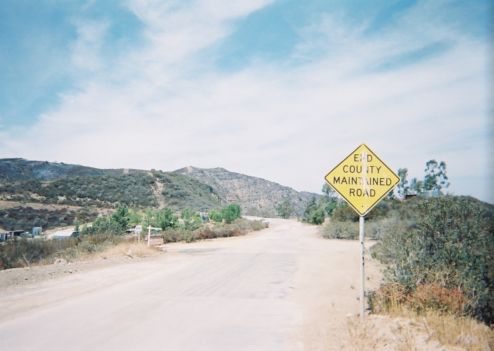
The beginning of our virtual adventure starts here at the Ridge Route's border with the southern boundary of Angeles National Forest north of Castaic. Looking north. Notice the residential buildings to the left and the white painted guardrail on the west side of the road north of the residence. This tour will travel north from this location to where the Ridge Route leaves Angeles National Forest boundaries again at Pine Canyon Road. All photos - read left to right, top to bottom - are in geographic order from south to north. Photo from private collection of avnative.
| This image has been (or is hereby) released into the public domain by its author, Avnative at the English Wikipedia project. This applies worldwide. In case this is not legally possible: |
File history
Click on a date/time to view the file as it appeared at that time.
| Date/Time | Dimensions | User | Comment | |
|---|---|---|---|---|
| current | 03:32, 16 March 2007 | 1,818×1,228 (812 KB) | Krimpet | (Ridge Route, End County Maintained Road.jpg courtesy avnative{{PD}}<br>The beginning of our virtual adventure starts here at the Ridge Route's border with the southern boundary of Angeles National Forest north of [[Castaic, Californi) |

