Image:Provinces of Tuscany map.png
From Wikipedia, the free encyclopedia
Size of this preview: 780 × 600 pixels
Full resolution (1,000 × 769 pixels, file size: 211 KB, MIME type: image/png)
| | This is a file from the Wikimedia Commons. The description on its description page there is shown below.
|
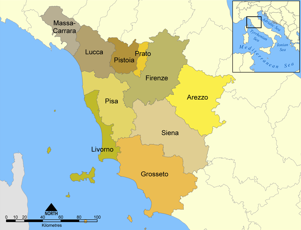
This map shows the provinces of the Italian region of Tuscany.
Created by NormanEinstein, August 26, 2005.

File history
Click on a date/time to view the file as it appeared at that time.
| Date/Time | Dimensions | User | Comment | |
|---|---|---|---|---|
| current | 19:34, 8 April 2006 | 1,000×769 (211 KB) | Pitichinaccio | (corrected spelling of Pistoia (was Pistoria)) |
| 20:57, 26 August 2005 | 1,000×769 (276 KB) | NormanEinstein | (This map shows the provinces of the Italian region of Tuscany. Created by NormanEinstein, August 26, 2005. {{GFDL-self}} Category: Maps of Italy) |
File links
The following pages on the English Wikipedia link to this file (pages on other projects are not listed):

