Image:Providence Metro Area.png
From Wikipedia, the free encyclopedia
No higher resolution available.
Providence_Metro_Area.png (640 × 416 pixels, file size: 47 KB, MIME type: image/png)
| | This is a file from the Wikimedia Commons. The description on its description page there is shown below.
|
| Description |
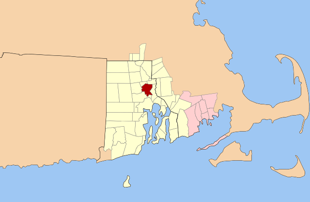
Map of the Providence (yellow) and New Bedford (pink) Metropolitan Areas. The City of Providence is highlighted (red). |
|---|---|
| Source |
Original outline map from Libre Map Project |
| Date |
2007-09-02 |
| Author |
Justin H. Petrosek |
| Permission (Reusing this image) |
See license |

File history
Click on a date/time to view the file as it appeared at that time.
| Date/Time | Dimensions | User | Comment | |
|---|---|---|---|---|
| current | 08:43, 24 April 2008 | 640×416 (47 KB) | File Upload Bot (Petros63) | ( {{Information|Description=Map of the Providence (yellow) and New Bedford (pink) Metropolitan Areas. The City of Providence is highlighted (red).|Source=Original outline map from [http://libremap.org/data/boundary/ Libre Map Project]|Date=2008-04-24|Autho) |
| 04:25, 10 September 2007 | 800×520 (150 KB) | File Upload Bot (Petros63) | ( {{Information|Description=Map of the Providence (blue) and New Bedford (purple) Metropolitan Areas. The City of Providence is highlighted (red).|Source=Original outline map from [http://libremap.org/data/boundary/ Libre Map Project]|Date=2007-09-02|Autho) | |
| 04:35, 3 September 2007 | 800×520 (113 KB) | File Upload Bot (Petros63) | ( {{Information|Description=Map of the Providence (blue) and New Bedford (purple) Metropolitan Areas. The City of Providence is highlighted (red).|Source=Original outline map from [http://libremap.org/data/boundary/ Libre Map Project]|Date=2007-09-02|Autho) | |
| 04:30, 3 September 2007 | 800×520 (132 KB) | File Upload Bot (Petros63) | ( {{Information|Description=Map of the Providence (blue) and New Bedford (purple) Metropolitan Areas. The City of Providence is highlighted (red).|Source=Original outline map from [http://libremap.org/data/boundary/ Libre Map Project]|Date=2007-09-02|Autho) |
File links
The following pages on the English Wikipedia link to this file (pages on other projects are not listed):

