Image:Pieter van der Aa New England 1707.jpg
From Wikipedia, the free encyclopedia
Size of this preview: 800 × 537 pixels
Full resolution (1,456 × 978 pixels, file size: 462 KB, MIME type: image/jpeg)
| | This is a file from the Wikimedia Commons. The description on its description page there is shown below.
|
| Description |
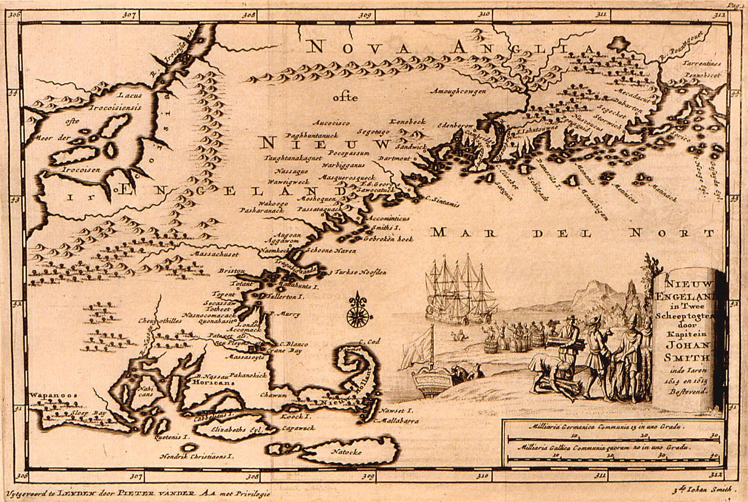
Historical map of New England |
|---|---|
| Source |
http://www.usm.maine.edu/maps/exhibit10/10-12.jpg and http://www.usm.maine.edu/maps/exhibit10/10-01.html |
| Date |
1707 |
| Author | |
| Permission (Reusing this image) |
PD-old |
[edit] Licensing
| This image (or other media file) is in the public domain because its copyright has expired. This applies to the United States, Canada, the European Union and those countries with a copyright term of life of the author plus 70 years.
العربية | Asturianu | Български | Català | Česky | Dansk | Deutsch | English | Ελληνικά | Esperanto | Español | Euskara | فارسی | Français | Gaeilge | Galego | עברית | हिन्दी | Bahasa Indonesia | Italiano | 日本語 | 한국어 | Kurdî / كوردی | Lietuvių | Magyar | Nederlands | Norsk (nynorsk) | Bahasa Melayu | Polski | Português | Română | Русский | Slovenčina | Slovenščina | Shqip | Suomi | Sámegiella | Türkçe | 中文(简体) | 中文(繁體) | 粵語 | +/- |
File history
Click on a date/time to view the file as it appeared at that time.
| Date/Time | Dimensions | User | Comment | |
|---|---|---|---|---|
| current | 05:11, 19 July 2007 | 1,456×978 (462 KB) | Jeeny | (sharpened image) |
| 05:08, 19 July 2007 | 1,456×978 (399 KB) | Jeeny | (Cropped messy border that takes away from the image.) | |
| 22:41, 19 December 2006 | 1,598×1,058 (458 KB) | Jutta234 | ({{Information |Description=Historical map of New England |Source=http://www.usm.maine.edu/maps/exhibit10/10-12.jpg and http://www.usm.maine.edu/maps/exhibit10/10-01.html |Date=1707 |Author=Pieter van der Aa |Permission=PD-old |other_versions= }} == L) |

