Image:Ph locator map leyte island.png
From Wikipedia, the free encyclopedia
No higher resolution available.
Ph_locator_map_leyte_island.png (300 × 440 pixels, file size: 23 KB, MIME type: image/png)
| | This is a file from the Wikimedia Commons. The description on its description page there is shown below.
|
[edit] Summary
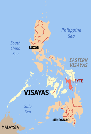
Map of the location of the Island of Leyte
Modified map by Magalhães from the version of seav: Image:Ph locator map leyte.png
[edit] Licensing

File history
Click on a date/time to view the file as it appeared at that time.
| Date/Time | Dimensions | User | Comment | |
|---|---|---|---|---|
| current | 14:27, 18 February 2006 | 300×440 (23 KB) | Magalhães | (Map of the location of the Island of Leyte Modified map by ~~~ from the version of en:User:Seav: Image:Ph locator map leyte.png Category:Maps of the Philippines ) |
File links
The following pages on the English Wikipedia link to this file (pages on other projects are not listed):

