Image:Parroquies de Taramundi.png
From Wikipedia, the free encyclopedia
No higher resolution available.
Parroquies_de_Taramundi.png (342 × 505 pixels, file size: 31 KB, MIME type: image/png)
| | This is a file from the Wikimedia Commons. The description on its description page there is shown below.
|
[edit] Sumario
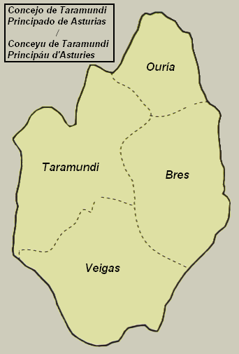
- Mapa del conceyu de Taramundi (Asturies, España) con toes les parroquies.
- Mapa del concejo de Taramundi (Asturias, España) con todas las parroquias.
Fechu por / Hecho por / Made by : rsg
[edit] Licencia

File history
Click on a date/time to view the file as it appeared at that time.
| Date/Time | Dimensions | User | Comment | |
|---|---|---|---|---|
| current | 23:13, 6 October 2005 | 342×505 (31 KB) | Rsg | (*Mapa del conceyu de Taramundi (Asturies, España) con toes les parroquies. *Mapa del concejo de Taramundi (Asturias, España) con todas las parroquias. Fechu por / Hecho por / Made by : rsg) |
File links
The following pages on the English Wikipedia link to this file (pages on other projects are not listed):

