Image:Palm Islands context map blank.png
From Wikipedia, the free encyclopedia
Size of this preview: 720 × 599 pixels
Full resolution (805 × 670 pixels, file size: 1,004 KB, MIME type: image/png)
| | This is a file from the Wikimedia Commons. The description on its description page there is shown below.
|
| Description |
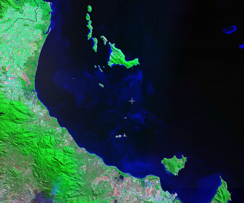
Unannotated map of the Palm Islands group on the coast of Queensland, Australia. |
|---|---|
| Source |
Screenshot of NASA's WorldWind program. |
| Date |
13:10, 29 January 2007 (UTC) |
| Author |
me (pfctdayelise (说什么?)) |
| Permission (Reusing this image) |
see below |
| Other versions | Image:Palm Islands context map en.png (English name labels) |
| This image is in the public domain because it is a screenshot from NASA’s globe software World Wind using Blue Marble, Landsat or USGS layer, all of which are in public domain. |
|
File history
Click on a date/time to view the file as it appeared at that time.
| Date/Time | Dimensions | User | Comment | |
|---|---|---|---|---|
| current | 13:10, 29 January 2007 | 805×670 (1,004 KB) | Pfctdayelise | ({{Information |Description=Unannotated map of the Palm Islands group on the coast of Queensland, Australia. |Source=Screenshot of NASA's WorldWind program. |Date=~~~~~ |Author=me (~~~) |Permission=see below |other_versions=[[:Image:Palm Islands context ma) |
File links
The following pages on the English Wikipedia link to this file (pages on other projects are not listed):

